

It's a chilly start to the week with the coldest air so far this season! But keep in mind, these temps are actually average for this time of year. After record warm weather in December, we're just not used to it!
It's gradually going to warm up over the next couple days ahead of a storm expected to move in late Wednesday night into Thursday. As of now, it looks like it'll stay dry through New Year's Eve, but then get widespread wet weather on New Year's Day.
Just like most of the storms so far this season, it's going to be relatively warm with rain in the valleys & only high elevation mountain snow. Unfortunately, that's going to limit how much we get at the resorts.
Unsettled weather with more valley rain & mountain snow is expected through the weekend and into early next week.
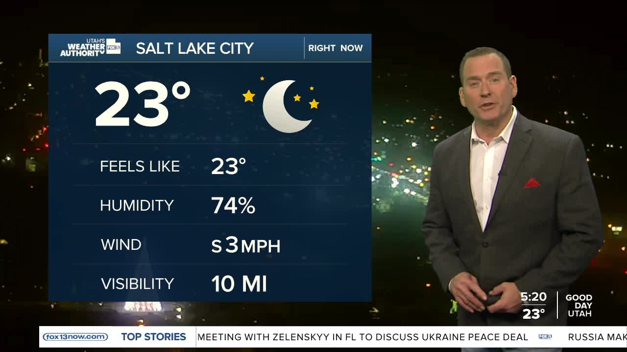
SALT LAKE CITY
Monday: Sunny. Highs: Upper 30s.
Monday Night: Clear & cold. Lows: Mid 20s.
ST. GEORGE
Monday: Sunny. Highs: Low 50s.
Monday Night: Mostly clear. Lows: Upper 20s.
