
Good Sunday morning, Utah!

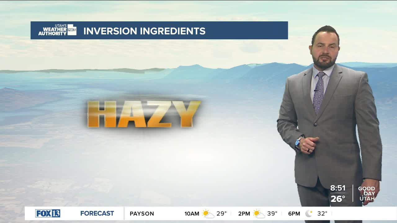
A high-pressure ridge remains in place today, bringing plenty of sunshine and strengthening valley inversions. Temperatures will remain near seasonal averages in the valleys, with warmer conditions at mid-elevations. Highs will reach the mid to upper 30s in northern Utah, with 40s to low 50s across central and southern Utah. Air quality forecasts remain moderate for Sunday.

Little change is expected as we head into the workweek. Areas outside of the inversions will see a gradual warm-up with mostly sunny skies each day. Locations within the inversions will experience minimal temperature fluctuations between daytime highs and overnight lows. Patchy dense fog may develop during the early morning hours throughout the week and could even lead to freezing fog in some areas.
There is a chance for some relief from temperature inversions later in the week as a storm system passes east of the state. However, it remains uncertain how impactful that system will be at this point.
