
Much of Utah will see its first significant snowfall of the season as a storm moves in across the state overnight Wednesday, with snow likely affecting morning commutes on Thursday.
Although mountain areas have already received feet of snow after a slow start to the season, most valleys have remained dry, other than a few days of rain. Those conditions will change beginning Wednesday night when temperatures begin to plummet.
During the storm, the northern valleys are forecast to receive 1-4 inches of snow as rain turns to snow overnight, with the heaviest snowfall coming in the morning. Southern Utah locations can expect snow as the system moves south in the afternoon and evening.

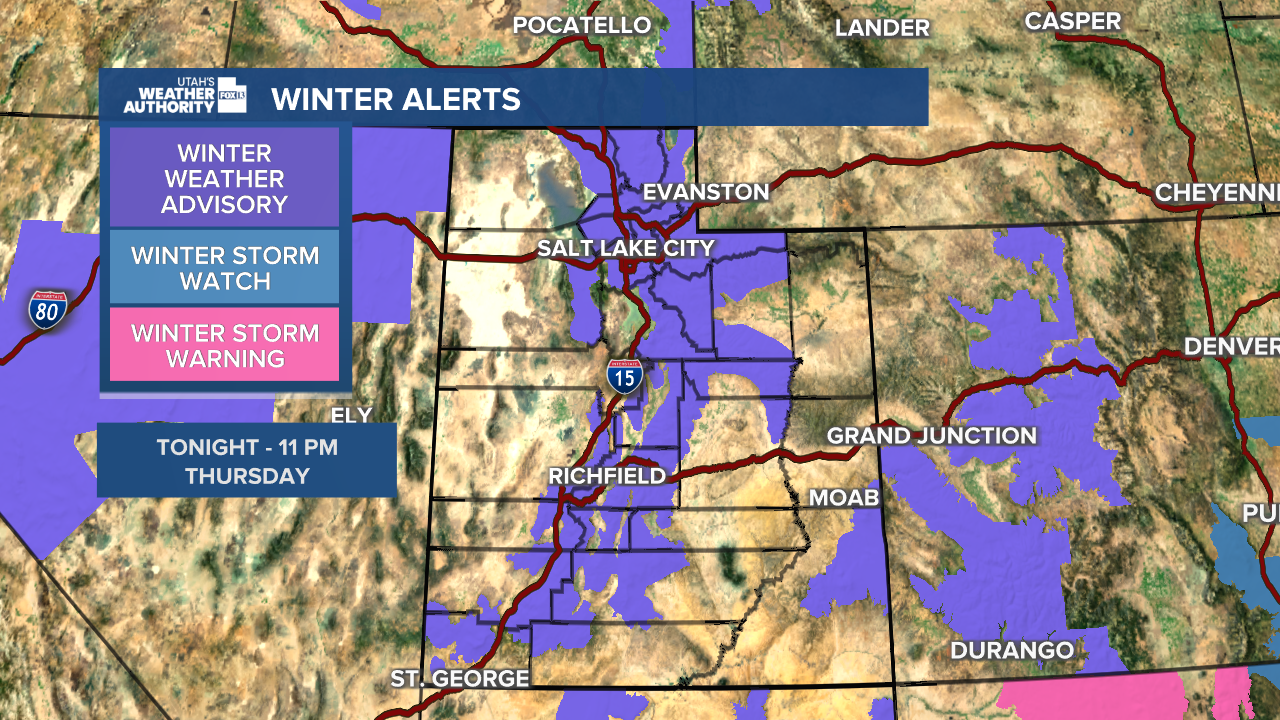
A Winter Weather Advisory will be in effect at 11 p.m. along the entire I-15 corridor, from St. George up to Logan, and areas east and west of the highway.
Road conditions are expected to be slushy or snow-covered during the Thursday morning commute, and drivers are urged to use caution. Much of the state will be under moderate traffic conditions, although some mountain areas will be under high traffic conditions. Lake effect snowfall may cause additional concerns in the Salt Lake Valley.

Utah's northern mountains could see up to an additional foot of snow, with the Cottonwoods and Bear River Range forecast to receive 10-20 inches during the storm. Central and southern mountain areas are forecast to see 4-8 inches of snow.

Temperatures in northern Utah will stick in the high 30s through Monday, and in the 40s in southern Utah, before conditions begin to warm up a bit early next week.
