
Despite an atmospheric river making landfall, temperatures will continue to trend well above average for the holiday week.
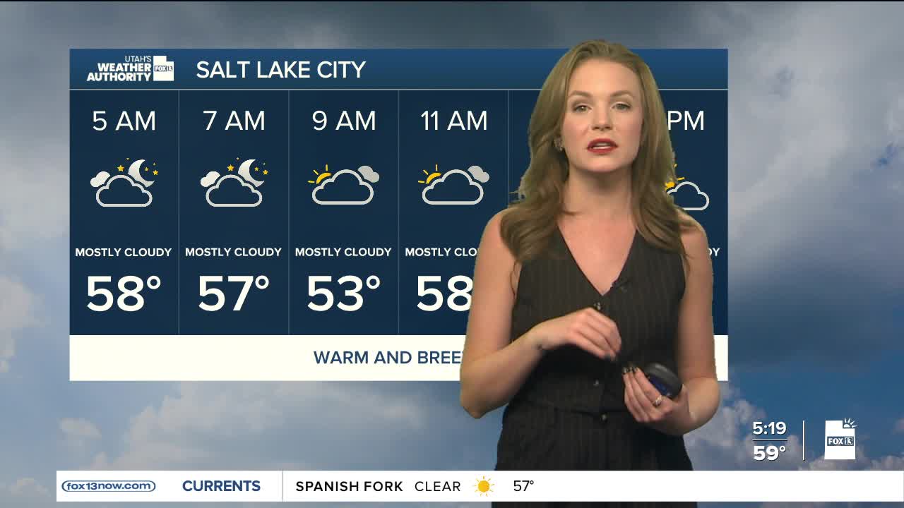
The start of the week appears to be mild and dry with cloud covering thickening up by Tuesday night. Daytime highs will remain in the low 60s, which is close to record breaking temperatures.
Biggest concern up until Wednesday will once again be strong winds as gusts are expected to be over 40 mph for some across the state.
A steady plume of moisture will move into the region on Wednesday and will continue throughout Christmas Day. This atmospheric river will bring rain to lower areas and heavy snow to mountains above about 8,000 feet. Runoff will increase quickly, causing rivers, streams and narrow slot canyons to rise.
Higher elevations will see the most snow. The Brian Head area, the Tushars and the slopes near Boulder Mountain could pick up more than a foot of snow.
Although widespread flash flooding isn’t expected, there is a small chance that some areas of southwestern Utah could get enough rain to cause localized flooding.
Colder air will arrive late Friday and into Saturday, pushing snow levels down. Snow levels could fall to about 6,000 feet by Friday evening and may reach valley floors by Saturday morning.
