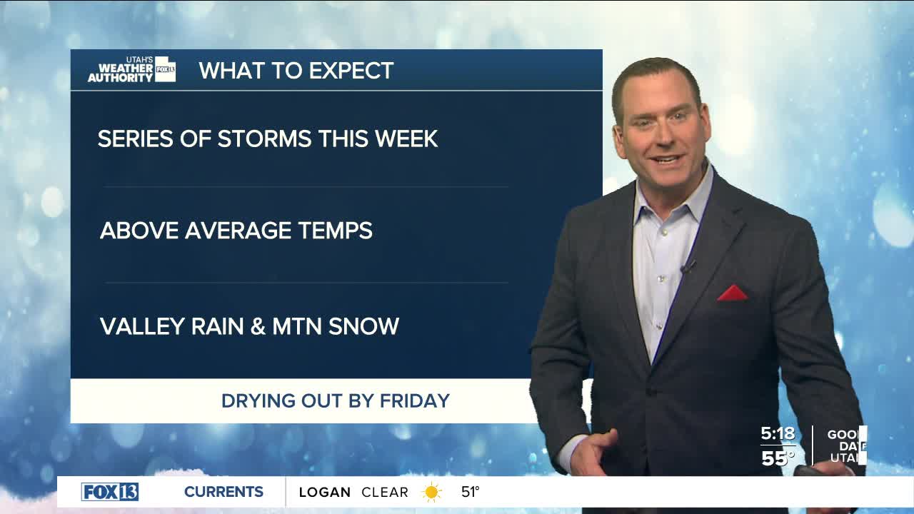


After record warmth yesterday, temps will drop behind a cold front today! High temps across the north will be early in the morning, then drop behind the front. So even if it's comfortable when you head out the door, be sure to grab a jacket! By sunrise, it'll hover near 50 along the Wasatch Front and then in the mid to upper 40s this afternoon.
The front will bring a chance of light valley rain & mountain snow across the north. Cool, wet weather expected much of the week and b ring much needed snow to the mountains. Snow levels will hover around 6,500 feet this week with 4-8 inches in the Northern Mountains and 2-5 expected over the higher terrain of Central & Southern Utah.
SALT LAKE CITY
Monday: Mostly cloudy & cooler with a chance of rain showers through early afternoon. High temps will be in the mid 50s early in the morning, then hover in the mid to upper 40s this afternoon.
Monday Night: Cloudy & colder. Lows: Mid 30s.
ST. GEORGE
Monday: Sunny. Highs: Near 70.
Monday Night: Becoming mostly cloudy. Lows: Mid 40s.
