

Moisture streaming into Northern UT will keep valley rain & high elevation snow going through the early part of the day. However, the flow of moisture will weaken this afternoon and showers will gradually decrease. Isolated t-storms could pop up, but otherwise the evening commute should be looking a lot better.
This is a warm late winter storm, so snow will be confined to the mountains. Snow totals of 5-15 inches are expected above 8,000 ft.
High pressure building in tomorrow will bring warmer, dry weather with temps running well above average through the weekend.
More valley rain & mountain snow will move in by early next week.
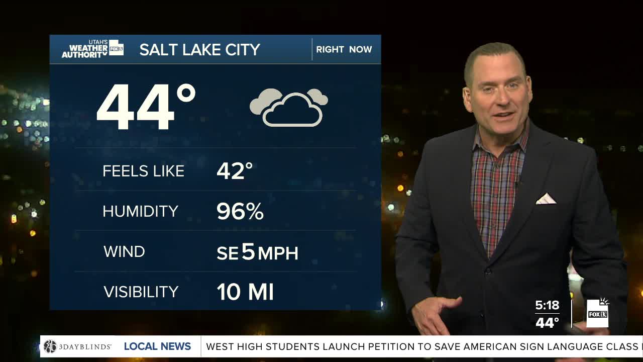
SALT LAKE CITY
Wednesday: Rain most likely in the morning, then decreasing showers & a slight chance of thunderstorms in the afternoon. Highs: Upper 50s.
Wednesday Night: Partly cloudy with showers ending. Lows: Near 40.
ST. GEORGE
Wednesday: Partly cloudy in the morning, then becoming sunny. Highs: Mid 70s.
Wednesday Night: Mostly clear. Lows: Upper 40s.
