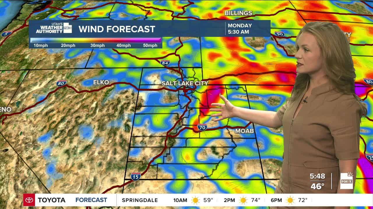

The start of the week will bring a sharp drop in temperatures and a few lingering showers across parts of northern Utah and southwest Wyoming.
By early Monday, most of the rain will be over, although some higher elevations could still get light showers. Northern Utah and southwest Wyoming will feel the biggest chill, with highs falling about 15 degrees compared to Sunday. Other areas across the state will see a 5-to-10-degree drop, keeping conditions cooler than normal.
Temperatures will rebound Tuesday afternoon as warmer winds from the southwest move back in.
By Wednesday morning, a low-pressure system off of California's coast is expected to move inland toward the lower Colorado Basin. This system will likely bring light showers to southern and eastern Utah from Wednesday into Thursday.
Friday may offer a short break in the weather, but early models are favoring a new storm system developing in the Pacific Northwest. The system could bring unsettled weather to northern Utah into early next week.
