

It's going to be warm & windy today! South to Southwest winds will increase today and possibly gust near 50 mph by this afternoon & evening. If there's anything in the yard you think might get blown around, secure it this morning! South winds will help temps climb well above average today.
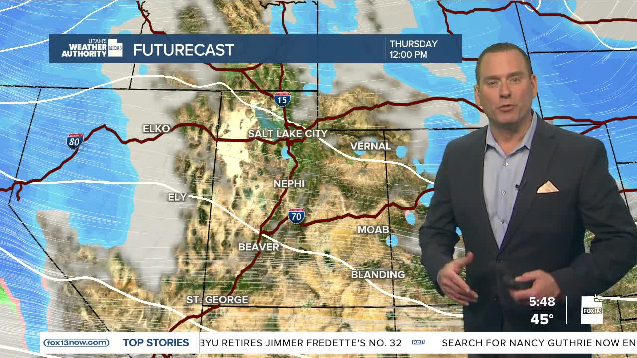
Valley rain & mountain snow will begin tonight and last into Tuesday morning. After a short break Tuesday afternoon, another storm will bring more widespread & heavy precipitation from Tuesday night through Thursday. Mountain snow will become heavy at times and we'll even get a good chance of snow to most valleys across the state!
Here's a look at how much snow might accumulate by Thursday evening:
Northern Mtns: 12-24 inches
Cottonwoods: 36 inches
Central Mtns: 8-12 inches
Southern Mtns: 8-18 inches
Brian Head & Tushars: 24"
Valleys: 2-4"
SALT LAKE CITY
Monday: Partly cloudy, warm, & breezy. South winds increasing to 20-30 mph by this evening, possibly gusting near 50 mph. Highs: Near 60.
Monday Night: Rain becoming likely & possibly mixing with snow. Winds decrease overnight. Lows: Upper 30s.
ST. GEORGE
Monday: Partly cloudy & breezy with a slight chance of rain in the afternoon. South winds 10-20 mph. Highs: Mid 60s.
Monday Night: Rain likely with a slight chance of t-storms. SW winds 10-20 mph. Lows: Near 40.
