

It felt like spring yesterday's , but winter weather is making a come-back as a series of storms moves through this week!
The first storm moved in last night and is now east of Utah. Rain & snow showers behind it will continue off and on today with any accumulations up in the mountains. It's not going to be as windy as yesterday, but West to SW winds could gust near 40 mph.
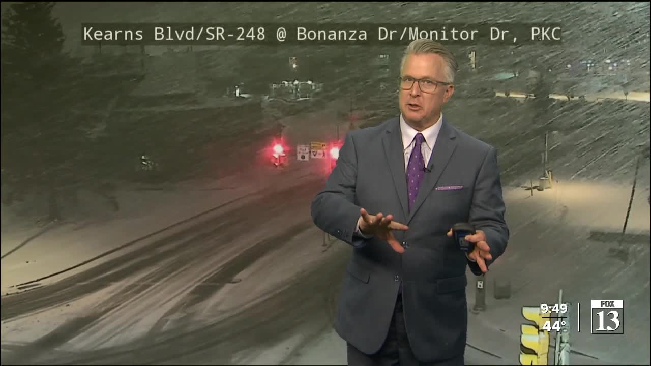
The next storm will move in later tonight & tomorrow. A strong front will slide across the state, and with cold air spilling in behind it, snow will become widespread and drop down to most valley floors. Snow could impact the Wednesday morning commute, so you might have to drive to deal with winter driving conditions for the first time this year!
Snow will decrease late Wednesday with gusty NW winds possib.e Temperatures will plummet all the way down near 20 along the Wasatch Front by Thursday morning and possibly into the single digits and teens in some valleys.
After a break much of Thursday, a final storm will bring a chance of more snow Friday.
SALT LAKE CITY
Tuesday: Breezy with rain & snow in the morning, then changing to snow as it tapers off this afternoon. SW winds 15-25 mph. Highs: Upper 40s.
Tuesday Night: Rain & snow showers in the evening, then snow likely after midnight with accumulation likely by morning. Lows: Lower 30s.
ST. GEORGE
Tuesday: Partly cloudy & cooler with a 40 percent chance of rain. Highs: Mid 50s.
Tuesday Night: Mostly cloudy with evening showers, then rain most likely after midnight. SW winds 10-20 mph. Lows: Near 40.
