

The first big snow-maker of the season is finally moving in today...but better late than never!
Gusty winds will continue ahead of the storm in Western & Northern Utah in the morning. South to SW winds could gust to 50 mph, and could be just as strong in Eastern Utah where they could linger through the afternoon.
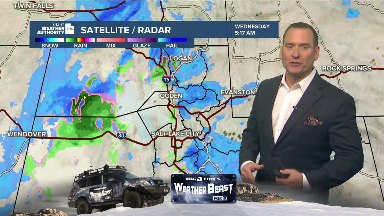
The front is moving in slower than expected, but will still bring widespread & possibly heavy snow at times today. The best chance of heavier precipitation along the Wasatch Front could be from late morning through mid-afternoon. If we're lucky, the brunt of the storm hits after the morning drive and before the evening commute. But keep in mind, the roads could still be messy with a lot of clean-up to do even after snow ends! Even mountain snow should taper off late tonight and early tomorrow morning.
It's going to be a lot colder tomorrow with overnight temps dropping into the single digits and teens in some of the valleys.
Lighter snow is possible with another storm on Friday.
SALT LAKE CITY
Wednesday: Snowy & windy with 1-4 inches on the valley floor and 4-8 inches on the benches. South winds in the morning will switch to NW by afternoon. Temps in mid 30s much of the day.
Wednesday Night: Partly cloudy & colder with a slight chance of snow after midnight. Lows: Near 20.
ST. GEORGE
Wednesday: Mostly cloudy with rain, snow showers, & a slight chance of t-storms. West winds 10-20 mph. Highs: Upper 40s.
Wednesday Night: Mostly clear & much colder. Lows: Mid 20s.
