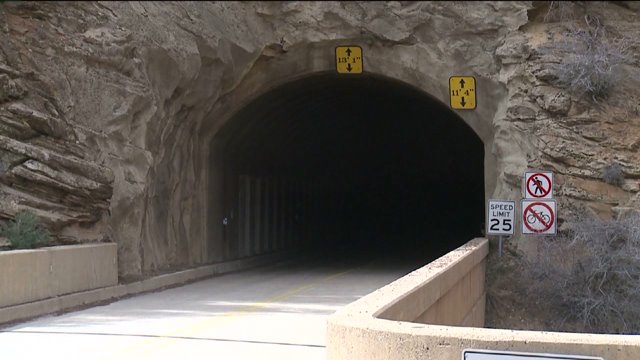
ZION NATIONAL PARK, Utah – Archeologists at Zion National Park use 3D laser technology to document artifacts found inside the park, and now they’re using it map one of the park’s largest artifacts.
The lasers will take a three dimensional picture of the mile-long Zion-Mount Carmel Tunnel. Built in the late 1920s, the tunnel connects the west canyon and the east plateaus. It’s one of the busiest roadways in the park and has seen some structural damage through the years with car accidents.
“Just since I’ve been here, we’ve had a car fire, we’ve had a semi truck get stuck in the tunnel,” says park public information officer Aly Baltrus.
That’s why park supervisors decided to use technology to help them monitor the tunnel’s structural condition. The 3D model will help them see how the walls hold up over time.
“It is a point in time picture,” Baltrus said. “And that’s something we don’t have. The technology was just never there.”
Thursday, crews put paper targets along the walls. Lasers will use them as reference points to create the 3D model.
“You will be able to manipulate it, especially you’ll be able to focus in on it, so you can look at specific areas,” Baltrus said. "It would let you change something about it, see what that does to it.”
Motorist will see 20 to 30 minute delays for the next 10 days while scanners work on different sections of the tunnel. Those delays will mostly take place between 6 and 8 a.m.


