


SALT LAKE CITY — The Utah State Legislature's Redistricting Committee unveiled its long-awaited maps late Friday, ahead of a special session to adopt political boundaries for congress, legislature and state school board.
The maps were made public ahead of a hearing Monday on them, where comment will be solicited. They are different than those advanced by the Independent Redistricting Commission, which was created by voters who approved Proposition 4 in 2018.
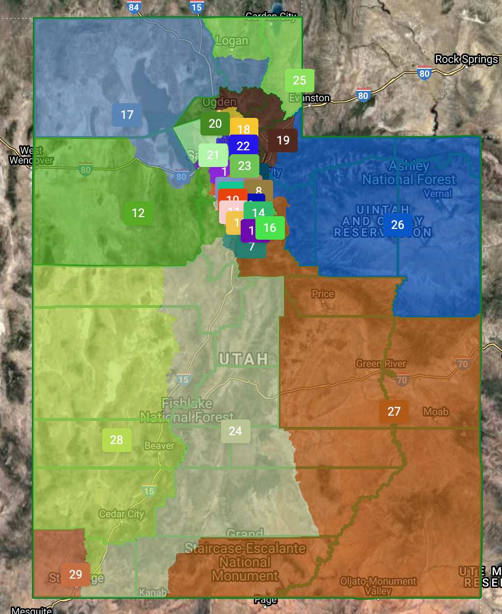
The most controversial map will be the congressional map, which divides Salt Lake County (the state's most populous area) into four districts, giving a mix of urban and rural areas. It appears that 3900 South will be the dividing line between all four districts.

"After listening to Utahns and touring the state, Rep. Ray and I created maps that we believe incorporate the interests of all Utahns,” said redistricting committee co-chair Sen. Scott Sandall, R-Tremonton, in a statement. "The congressional map we propose has all four delegates representing both urban and rural parts of the state. Rural Utah is the reason there is food, water and energy in urban areas of the state. We are one Utah and believe both urban and rural interests should be represented in Washington, D.C. by the entire federal delegation."
Governor Spencer Cox is calling the legislature into special session starting Tuesday to approve maps. Every 10 years political boundaries are redrawn for congress, legislature and school board based on updated U.S. Census data in the process known as "redistricting."
The legislature has faced increasing pressure to accept maps drawn by the independent commission, which supporters insist are more "fair" and represent thousands of public comments from across the state about what makes up a community. Some have also accused the legislature of gerrymandering in an effort to keep Republicans in control.
But under the law, the legislature gets the final say.
“The legislature has the constitutional responsibility to divide the state into electoral districts,” said committee co-chair Rep. Ray, R-Clearfield, in a statement. “Sen. Sandall and I have worked tirelessly to come up with boundaries that best represent the diverse interests of the people we were elected to represent. I am grateful for the feedback we received directly from the local communities and look forward to discussing our maps with the committee and full Legislature.”
The Independent Redistricting Commission has faced criticism from lawmakers on Capitol Hill, especially after former congressman Rob Bishop resigned from it, complaining that some maps were too "metro-centric."
A link to interactive versions of the legislature's proposed maps is here.
State House of Representatives:

State Senate:
State School Board:

