

After a warm start to the week, it's finally going to start looking like winter!
A southwest flow will push yesterday's front back north today, bringing the best chance of light valley rain & mountain snow to Northern Utah.
Moisture surging into UT late tonight through Thursday morning will bring heavier, widespread valley rain & moderate to heavy snow in the mountains! The heaviest snow will likely fall between 3 AM and 4 PM Wednesday.
This is how much snow we might get by Thursday afternoon:
Northern Mountains: 6-12"
Upper Cottonwoods: 15+"
Wasatch Plateau / Book Cliffs: 5-10"
Southern Mtns: 2-5"
Brian Head / Tushar Range: 6-12"
Another round of valley rain & mountain snow will be possible across the south late Thursday & Friday. After a break over the weekend, more storms will likely move in next week.
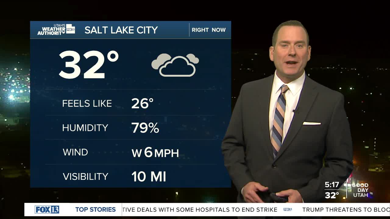
SALT LAKE CITY
Tuesday: Cloudy with a chance of light snow in the morning, then switching to light rain in the afternoon. Highs: Upper 40s.
Tuesday Night: Cloudy with a 40% chance of rain. Lows: Near 40.
ST. GEORGE
Tuesday: Mostly cloudy. Highs: Upper 60s.
Tuesday Night: Cloudy with a 50% chance of showers & a slight chance of t-storms after midnight. Lows: Near 50.
