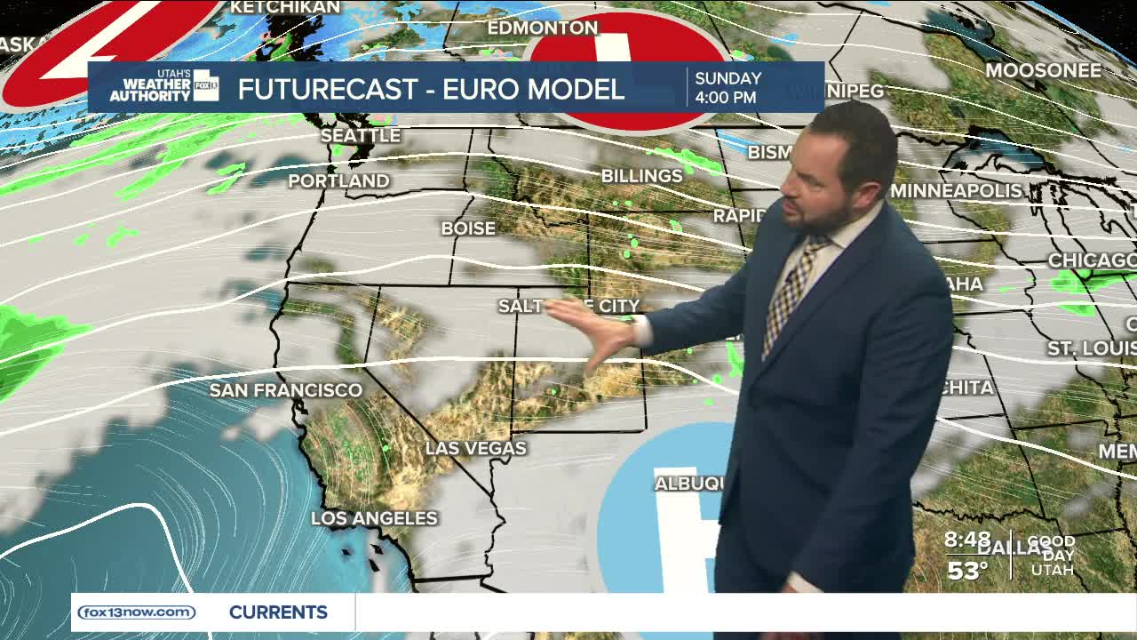

A dry cold front is moving through northern and central Utah today, knocking temperatures down a bit...but not by much. Highs will still run about 10 degrees above normal for this time of year. Southern Utah won’t notice much change at all, especially in Lower Washington County, where temperatures will stay within a few degrees of Saturday’s record highs.
The cooldown over northern Utah won’t last long. High pressure quickly rebuilds on Monday, sending temperatures climbing again, jumping roughly 10 degrees compared to Sunday across northern and central Utah. By Tuesday, much of the state will be back near record or record-tying territory, with that unseasonable warmth sticking around through midweek.
Another weak system arrives Thursday, flattening the ridge and pushing through another dry cold front. That will bring a slight dip in temperatures again for northern and central Utah — but even then, highs will still sit well above normal. Southern Utah remains largely unchanged, holding onto the heat. By Friday into Saturday, the ridge rebounds once more, and temperatures surge back to 10 to 20 degrees above average statewide.
As for any meaningful moisture — that’s still a bit of a waiting game. Right now, it's looking like next weekend into early the following week could bring a shift. Some forecast models hint at a developing trough across the West, which would increase the chance for moisture. Right now, the odds favor mountain snow and valley rain chances returning, but confidence is still low. Stay tuned.
