

You might see a few more raindrops on the windshield today!
A weak storm system brushing by northern Utah will bring a chance of light showers today, mainly north of Interstate 80. A few hundredths are possible in the valleys with a trace to an inch of snow above 7,000 ft. The Bear River Range might get a couple inches.
It's going to dry out tomorrow, so the weekend is looking good! It's going to be sunny & cool with temps hovering close to average.
High pressure building early next week will bring a nice warm-up.
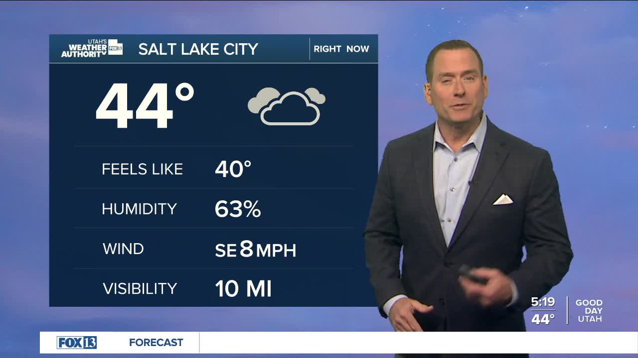
SALT LAKE CITY
Friday: Mostly cloudy with a 20 percent chance of rain. Highs: Upper 50s.
Friday Night: Partly cloudy. Lows: Upper 30s.
Saturday: Sunny. Highs: Mid 50s.
Sunday: Sunny. Highs: Upper 50s.
ST. GEORGE
Friday: Sunny. Highs: Mid 70s.
Friday Night: Mostly clear. Lows: Mid 40s.
Saturday: Sunny. Highs: Low 70s.
Sunday: Sunny. Highs: Mid 70s.
