

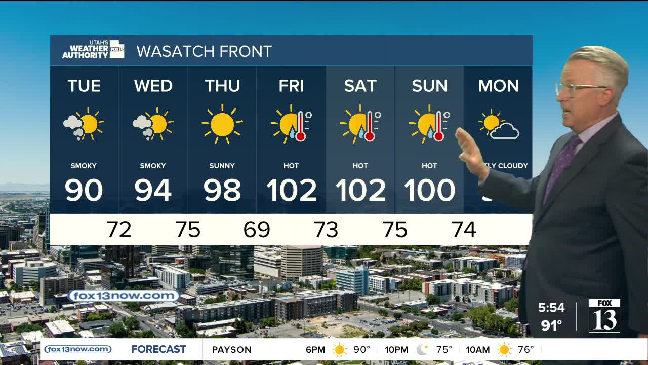


A cold front moving across Utah will bring slightly cooler temperatures to the north today & tomorrow, giving us a little break from the scorching weather we had over the weekend. In fact, it's going to be about 10 degrees cooler than yesterday along the Wasatch Front, so hopefully it feels a lot better for you! Unfortunately, little change is expected across the south.
At the same time, winds near and ahead of the front will be gusty at times across Central, Southern& Eastern Utah. That will keep fire danger high in those areas with Red Flag Warnings in effect through this evening. Air quality is also expected to be poor at times as smoke from area wildfires drifts across the state.
The cooler conditions are expected to be short-lived, as temperatures climb again later this week with hotter and dry weather returning statewide.
SALT LAKE CITY
Monday: Sunny & slightly cooler with areas of smoke. Highs: Near 90.
Monday Night: Mostly clear. Patchy smoke. Lows: Mid 60s.
ST. GEORGE
Monday: Sunny. Highs around 111.
Monday Night: Mostly clear. Lows: Near 80.