

A storm brushing by Northern Utah will bring a chance of scattered showers & isolated t-storms, mainly to NE Utah & SW Wyoming. A little snow is possible in the mountains above 8,000 feet, although light snow showers are possible in SW Wyoming. Most precipitation will taper off this evening.
A cold front will sag south into Central Utah later today with gusty winds out ahead & behind it leading to high fire danger across East Central Utah in the afternoon & early evening.
A weak weather disturbance will drift across Central & Southern Utah tomorrow, keeping it mostly cloudy with a chance of some mainly high based showers.
High pressure building this weekend will keep it dry & bring a big warm-up! It's going to be sunny with temps climbing well above average by by Memorial Day! Great news if you have outdoor plans!
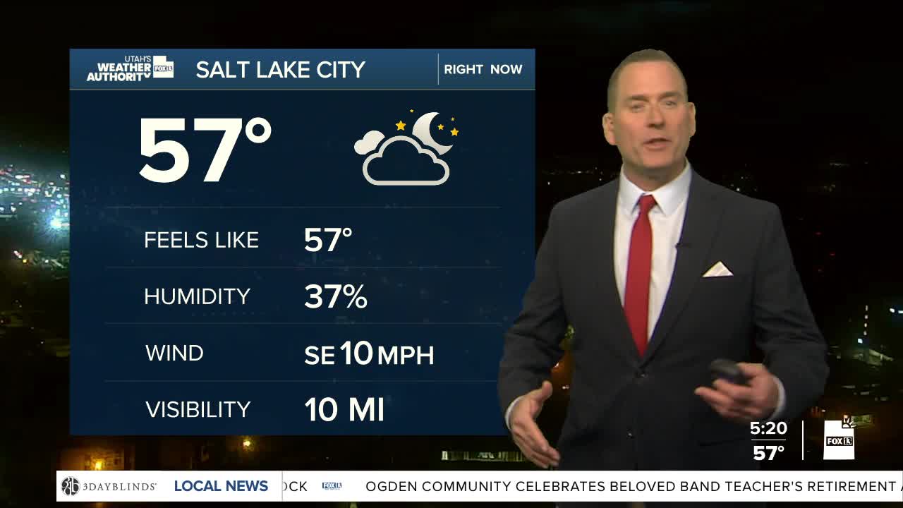
SALT LAKE CITY
Thursday: Scattered showers & isolated t-storms possible before noon, then gradually clearing off. NW winds 10-20 mph. Highs: Near 70.
Thursday Night: Mostly clear & cooler. Lows: Mid 40s.
ST. GEORGE
Thursday: Sunny. Highs: Near 90.
Thursday Night: Mostly clear. Lows: Near 60.
