

Keep the umbrella handy!
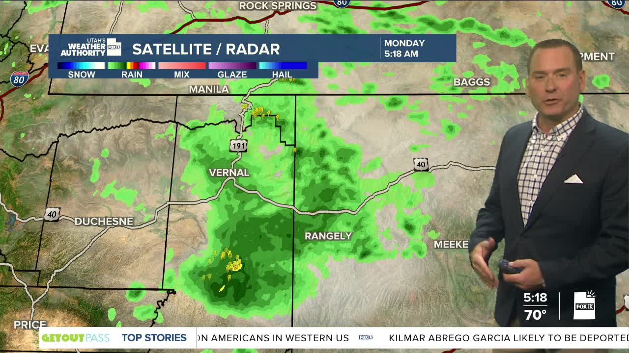
Monsoonal moisture will stay in place across Utah through at least the middle of the week. Widespread showers & t-storms will become likely over the next few days, especially in the afternoons and evenings.
The possibility of heavy rain will lead to a higher threat of flash flooding. It's a good idea to avoid trouble spots like slick rock and slot canyons until later this week. In fact, dry air will gradually work it's way in on Thursday & Friday with wet weather decreasing. Luckily, it looks like it'll start to warm up just in time for the holiday weekend!
SALT LAKE CITY
Monday: Partly cloudy with a chance of showers & t-storms in the morning, but they're most likely in the afternoon & evening. Highs: Upper 80s.
Monday Night: Chance of showers & a slight chance of t-storms overnight. Lows: Upper 60s.
ST. GEORGE
Monday: Partly cloudy with a 40 percent chance of showers & t-storms in the afternoon & evening. Highs: Upper 90s.
Monday Night: Rain showers along with a slight chance of t-storms. Lows: Mid 70s.
