



Ready for a break from the heat?
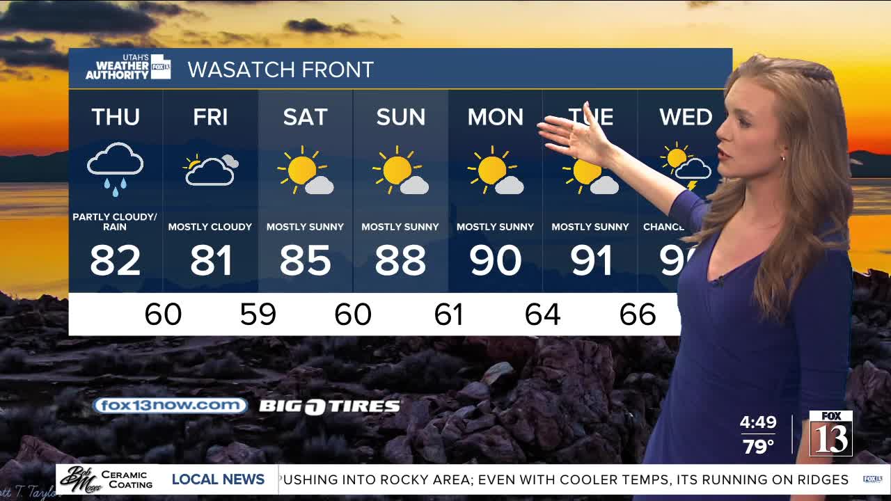
Monsoonal moisture will be locked in across Utah for the rest of the week, bringing a more active weather pattern over the next few days. Showers and thunderstorms are expected to become increasingly widespread in the afternoons and evenings, especially across Central & Southern Utah. Storms will become most likely across the north on Thursday & Friday.
Some of the storms could bring heavy rain with flash flooding becoming even more of a concern, especially near trouble spots like slot canyons and recent burn scars.
The clouds and rain chances will finally give us a break from the late summer heat! Temps could be about 10-15 degrees below average by the end of the week, so you might be able to turn the AC off for a couple days!
It's expected to dry out & warm up this weekend with thunderstorms pretty much confined to the mountains by then. Another monsoonal pattern could set up again early next week.
SALT LAKE CITY
Wednesday: Partly cloudy with a slight chance of showers & t-storms in the morning, then about a 40% chance in the afternoon. Highs: Upper 80s.
Wednesday Night: Mostly cloudy with showers & t-storms decreasing. Lows: Mid 60s.
ST. GEORGE
Wednesday: Partly cloudy with isolated showers possible in the morning, then a 50% chance of showers & t-storms in the afternoon. Highs: Upper 90s.
Wednesday Night: Becoming mostly cloudy with showers & t-storms tapering off after midnight. Lows: Mid 70s.