


The National Weather Service issued Severe Thunderstorm Warnings and Flash Flood Warnings for some areas in southern Utah Saturday afternoon and evening.
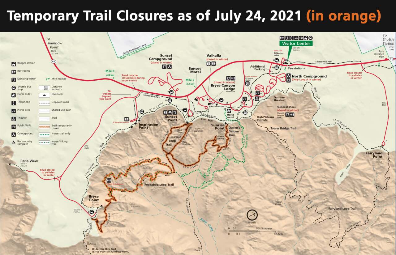
Bryce Canyon and Capitol Reef national parks have closed certain roads and trails that were impacted by the heavy rain.
FLASH FLOODING
A Flash Flood Warning was in place through 7:15 p.m. in western Kane County, east-central Washington County and southeastern Iron County. It specifically included:
- Zion National Park
- Springdale
- Rockville
- Streams and drainages including:
- Clear Creek, Right Fork North Creek, East Fork Virgin River, North Fork Virgin River, Kolob Creek, Virgin River, Blue Creek, La Verkin Creek, Taylor Creek
A warning was also given for southern Garfield County and north-central Kane County, lasting through 5:30 p.m., including:
- Bryce Canyon National Park
- Tropic
- Cannonville
- State Route 12 between mile markers 21 and 26
- Bryce Creek draining into the Paria River and areas downstream along the Paria River through Kodachrome Basin State Park
Another was issued for southeastern Washington County, including Hildale, Second Creek, Short Creek, South Creek and Water Canyon. It lasted through 5:15 p.m.
Earlier warnings were issued through 4 p.m. for western Kane County, including Glendale, U.S. Highway 89 near mile marker 90, and the East Fork of the Virgin River.
READ: Intense floods good, bad for Capitol Reef National Park
SEVERE THUNDERSTORMS
Earlier in the afternoon, the NWS issued a thunderstorm warning for north-central Washington County and south-central Iron County through 4:15 p.m. This included State Route 18 between mile markers 23 and 32, as well as the towns of Pine Valley, Pinto and Veyo.
An earlier warning was issued through 3:45 p.m. for central Washington County, including the towns of Washington, Hurricane, New Harmony, Ivins, Toquerville, Leeds and Pine Valley, as well as Quail Creek State Park and Snow Canyon State Park. I-15 between mile markers 18 and 25 was also expected to be impacted.
Wind gusts of up to 60 miles per hour were expected, as well as heavy rain and quarter-sized hail. Damage to homes and vehicles was also possible.
Click here to view the latest updates to these warnings, as well as other "watches" and "advisories" from the NWS. The agency also provides regular updates on its Twitter page.
This Flash Flood Warning is for Kolob Canyon, with flash flooding reported around La Verkin & Taylor Creeks. #utwx https://t.co/QibllNEtHy
— NWS Salt Lake City (@NWSSaltLakeCity) July 24, 2021
