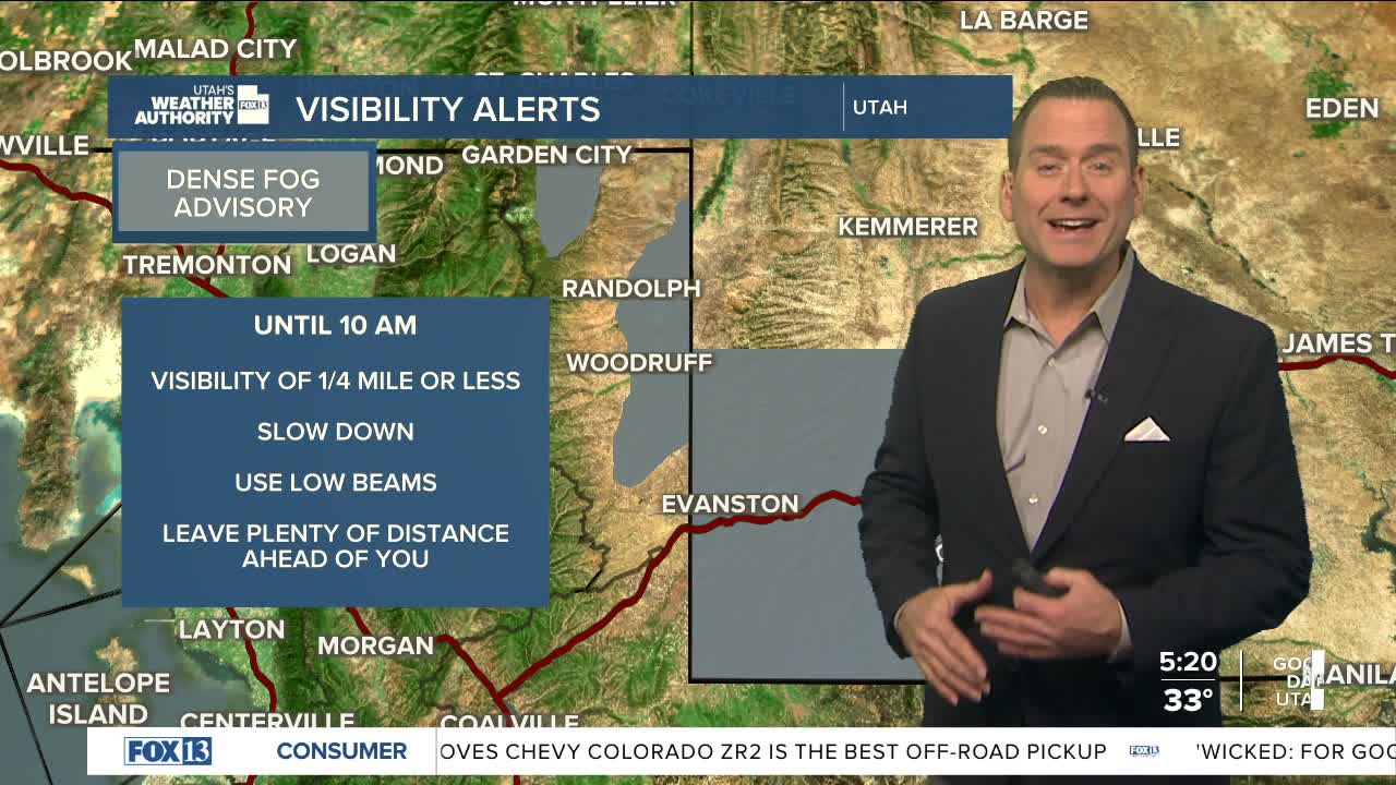


Fog & low clouds aren't as widespread as yesterday and will likely burn off by mid to late morning.
The next storm will stay north of Utah, but a mainly dry cold front will slide across the north later today & Tuesday morning. It might not break up inversions entirely, but will bring better air quality & cooler temps. There's a chance of light now in the mountains tonight, but with only minor accumulations expected. There might be an inch or so at higher elevations.
High pressure building in behind the storm will keep it dry for much of the week, which is great news if you're taking a road trip for Thanksgiving. At the same time, valley inversions will re-strengthen with an increase in valley haze.
A winter storm is likely this weekend. Computer models are still up in the air as to how strong it might be as well as how much snow we might get. Fingers crossed that it'll kick-start the ski & snowboard season!
SALT LAKE CITY
Monday: Becoming mostly sunny after morning fog. Highs: Low 50s.
Monday Night: Partly cloudy. Lows: Lower 30s.
ST. GEORGE
Monday: Sunny. Highs: Low 60s.
Monday Night: Mostly clear. Lows: Upper 30s.
