

Mild temps will stick around through midweek, so it's not going to feel much like November! Mid & high level clouds will drift across the north early today, but otherwise it'll become mostly sunny again.
SW winds will increase tomorrow ahead of a few weak storms that'll brush by the north Thursday into Saturday. That'll keep temps running well above average, but winds could gust 30 to 40 mph across parts of Western & SW Utah on Wednesday afternoon.
A storm to our north will brush by Wednesday night & Thursday morning, bringing the best chance of precipitation to far northern Utah.
A cold front will knock temps down about 6-12 degrees by Thursday, but that will still put us close to average for this time of year.
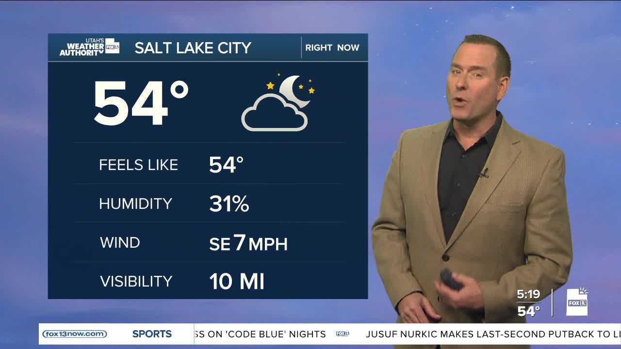
SALT LAKE CITY
Tuesday: Sunny & warm. Highs: Upper 60s.
Tuesday Night: Partly cloudy. Lows: Near 50.
ST. GEORGE
Tuesday: Sunny & warm. Highs: Upper 70s.
Tuesday Night: Mostly clear. Lows: Near 50.
