
Slightly warmer temperatures along with increasing cloud cover on Sunday, ahead of our next storm.

A slow-moving storm system is pushing inland off the Pacific Coast and will bring a round of unsettled spring weather to Utah starting Sunday afternoon. Southern Utah will be the first to see scattered afternoon and evening showers and thunderstorms. However, with dry air near the surface, many of these will be high-based storms—more likely to produce gusty, erratic winds up to around 50 mph than widespread rainfall. Some activity could linger into the overnight hours.
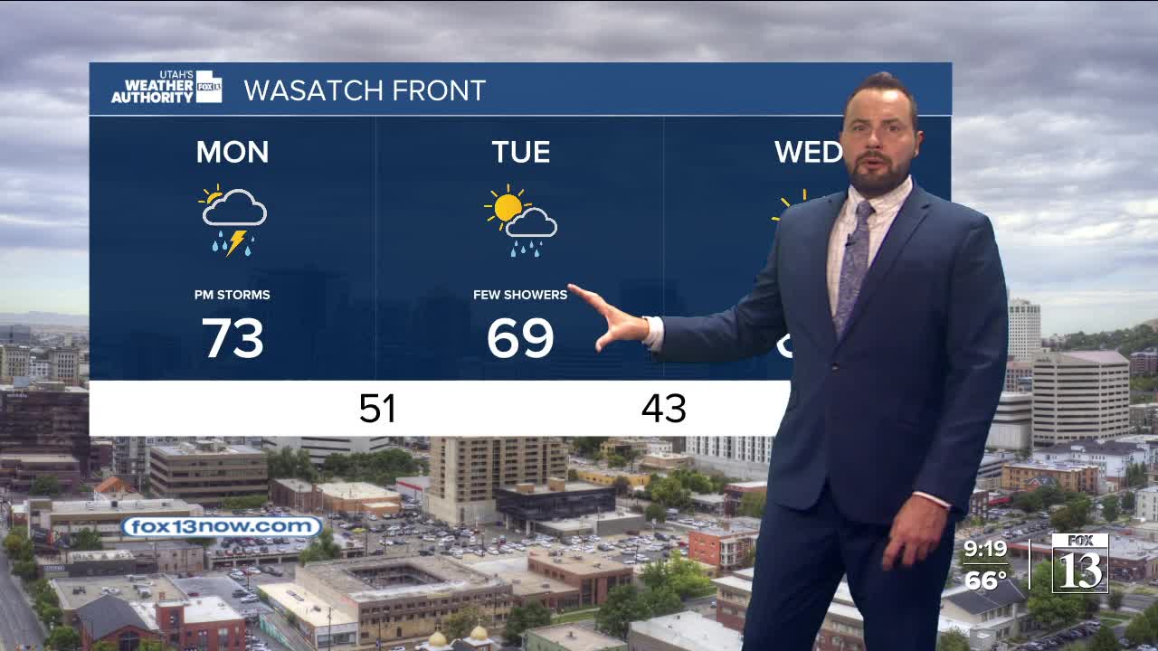
By Monday, the focus shifts north. Southern Utah dries out a bit, while northern Utah will see more widespread showers and thunderstorms. Once again, gusty and irratic winds will be the main concern, with brief impacts like blowing dust and reduced visibility possible.

As the system moves into the Desert Southwest on Tuesday, moisture deepens across northern Utah. That should bring a better chance for measurable rain and slightly calmer winds, along with cooler temperatures dipping to near or just below average. The system exits by Wednesday, leaving behind a few early showers before high pressure rebuilds. That will bring a return to drier, milder conditions for the second half of the week. Stay tuned.
