



Another hot & stormy day across parts of Utah!
Scattered showers & t-storms could pop up again this afternoon & evening, mainly over the central mountains and across NE Utah into SW Wyoming. Besides a chance of rain, some winds could gust up to or above 40 mph.
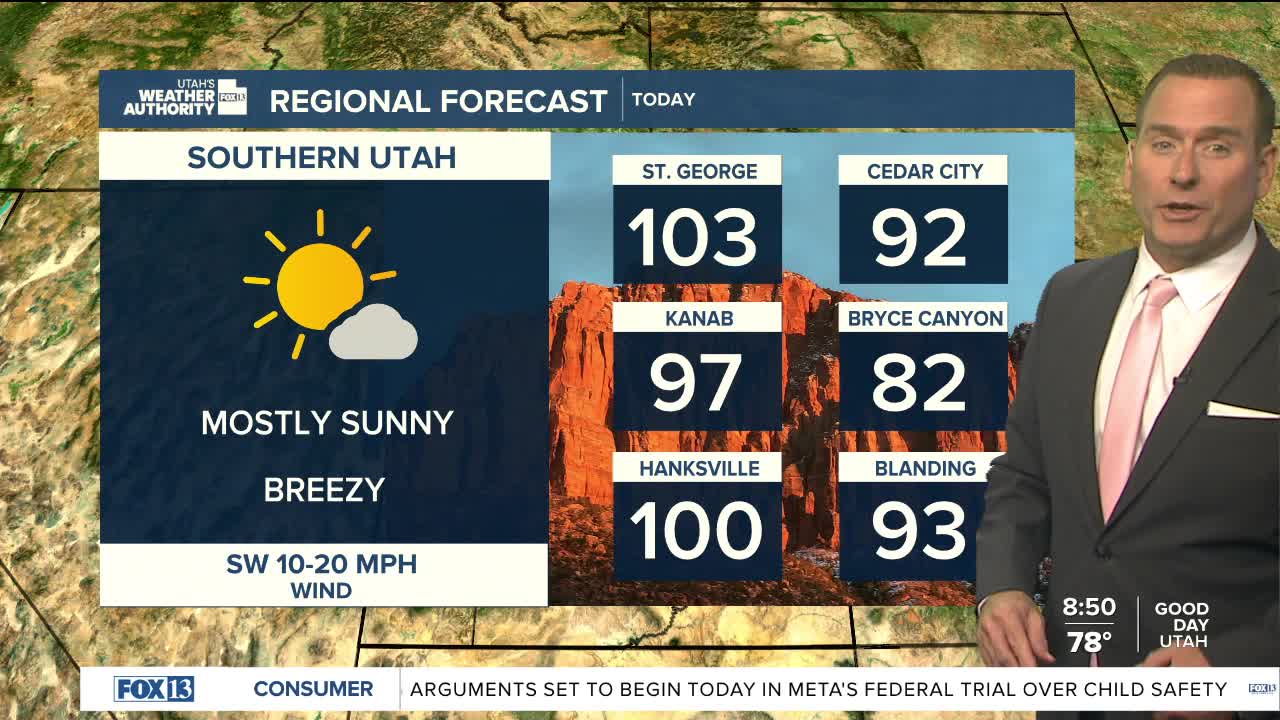
Gusty SW winds are also possible from SW Utah stretching into the NE corner of the state. Those could be in the 20-25 mph range, and since it's so dry, will lead to increasing fire danger.
The big story for most of you will be the late summer heat! Temps will keep climbing this week and be near 100 along the Wasatch Front by Thursday & Friday.
Monsoonal moisture moving in this weekend will bring cooler temps and a chance of showers & thunderstorms.
SALT LAKE CITY
Tuesday: Mostly sunny. Highs: Low 90s.
Tuesday Night: Mostly clear. Lows: Near 70.
ST. GEORGE
Tuesday: Mostly sunny & hot. Highs: Near 103.
Tuesday Night: Partly cloudy. Lows: Upper 70s.