

Utah is in for a busy week of winter weather, with strong winds, mountain snow, and a growing threat of valley snow starting Monday night and lasting through Thursday.
South-southwest winds will pick up today ahead of several storm systems moving into the state. The strongest winds are expected Monday, when gusts could reach 35 to 40 mph in western Millard, Beaver and Iron counties. Winds are expected to stay gusty through Wednesday.
The first storm will arrive Monday night into Tuesday morning, pushing precipitation from southwest to northeast. While the heaviest moisture will stay farther south, the mountains could see heavy snowfall, especially in southwest Utah. Snow levels will start near 4,500 to 5,000 feet Tuesday morning, then drop low enough for most valleys to see snow by Tuesday night.
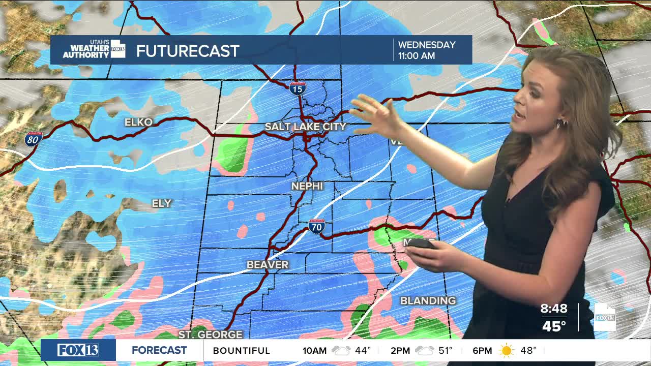
Another system will move in by Wednesday, bringing a stronger cold front and shifting winds to the west and northwest.
In the mountains, forecasters expect 1 to 2 feet of snow, with some spots near Brian Head and in the Wasatch getting more. The Wasatch Back, including Park City, could see 8 to 12 inches. Many valleys may get 1 to 6 inches, with higher totals on elevated benches .
