

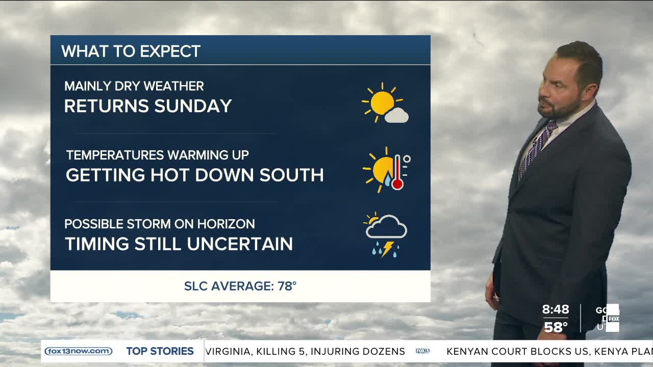

It was a soggy start to the weekend on Saturday with healthy rain totals for much of northern Utah. Many rain gauges reported a half inch or more of water, with Evanston, WY reporting the most with 1.20" during the storm cycle. Calmer weather is in store Sunday with near average high temperatures for much of the state.
Our weather pattern is shifting into a much hotter and drier setup this week, bringing increasing fire danger across the state. A weak system passing north will generate some instability on Monday; a few isolated showers and thunderstorms are possible across northern Utah by the afternoon and evening, with some storms capable of producing gusty winds up to 45 mph.

Meanwhile, southern and eastern Utah will see locally critical fire weather conditions Monday as gusty winds combine with very low humidity. Fire danger is expected to increase even more by Thursday across much of southern Utah.
Temperatures will steadily climb through the week as high pressure builds over the region. By next weekend, many lower elevations across northern Utah could see highs in the low to mid 90s. The dry pattern is also raising wildfire concerns. Much of southern and eastern Utah is expected to see little to no measurable rainfall over the next seven days.