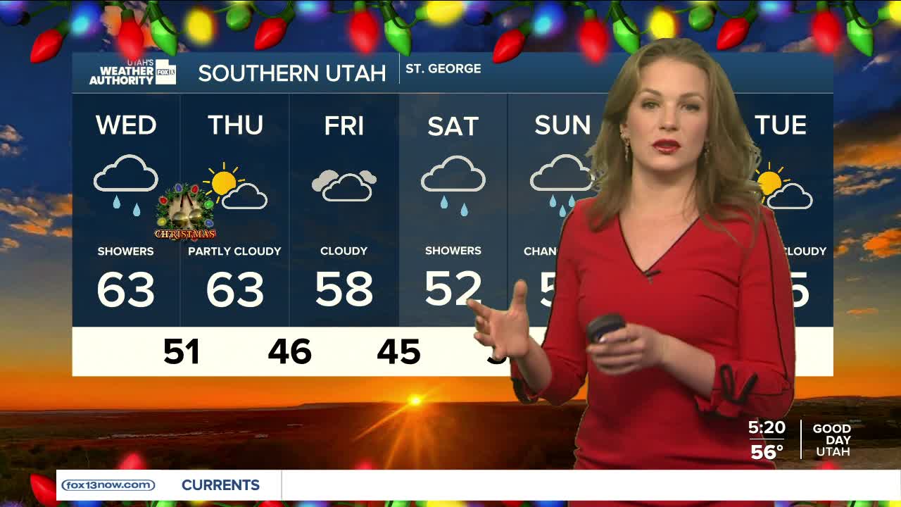


Despite a slight chance for a few early morning showers, conditions will remain mild for the first half of the day. Record warm temperatures will continue through Thursday as highs continue to trend close to 60 degrees.
As the holiday storm tracks closer to the region, winds will gradually increase. Gusty winds of more than 45 mph are likely across western Utah through Friday afternoon.
The southern mountains above about 8,500 feet and the western Uinta Mountains above about 9,000 feet are likely to get 6 to 12 inches of snow from Wednesday into late Thursday. A Winter Weather Advisory is in place for the Northern and Southern mountains until tomorrow afternoon.
Moderate to heavy rain is expected across southern Utah below 8,500 feet Wednesday into Thursday.
By Friday afternoon, another storm system will sweep through the region bringing along another 6-12 inches for the mountains.
