It’s a mostly clear and cold start to the day across the state, with high pressure firmly in place. High clouds rotating through the ridge will bring partly cloudy skies to most areas. Daytime highs will once again climb above normal, reaching the low to mid-50s in northern valleys and the low 60s in southern Utah.
That said, valley haze and inversions are setting up a bit more today, so temperatures may run slightly cooler than yesterday, with moderate air quality expected.

Calm weather continues into the start of the workweek with little change through Tuesday. For northern Utah, models are finally hinting at a shift, with increasing moisture arriving Wednesday as the jet stream dips south. This pattern change should bring some much-needed snowfall to the northern mountains, while valleys remain too warm—meaning rain is the most likely outcome for now.

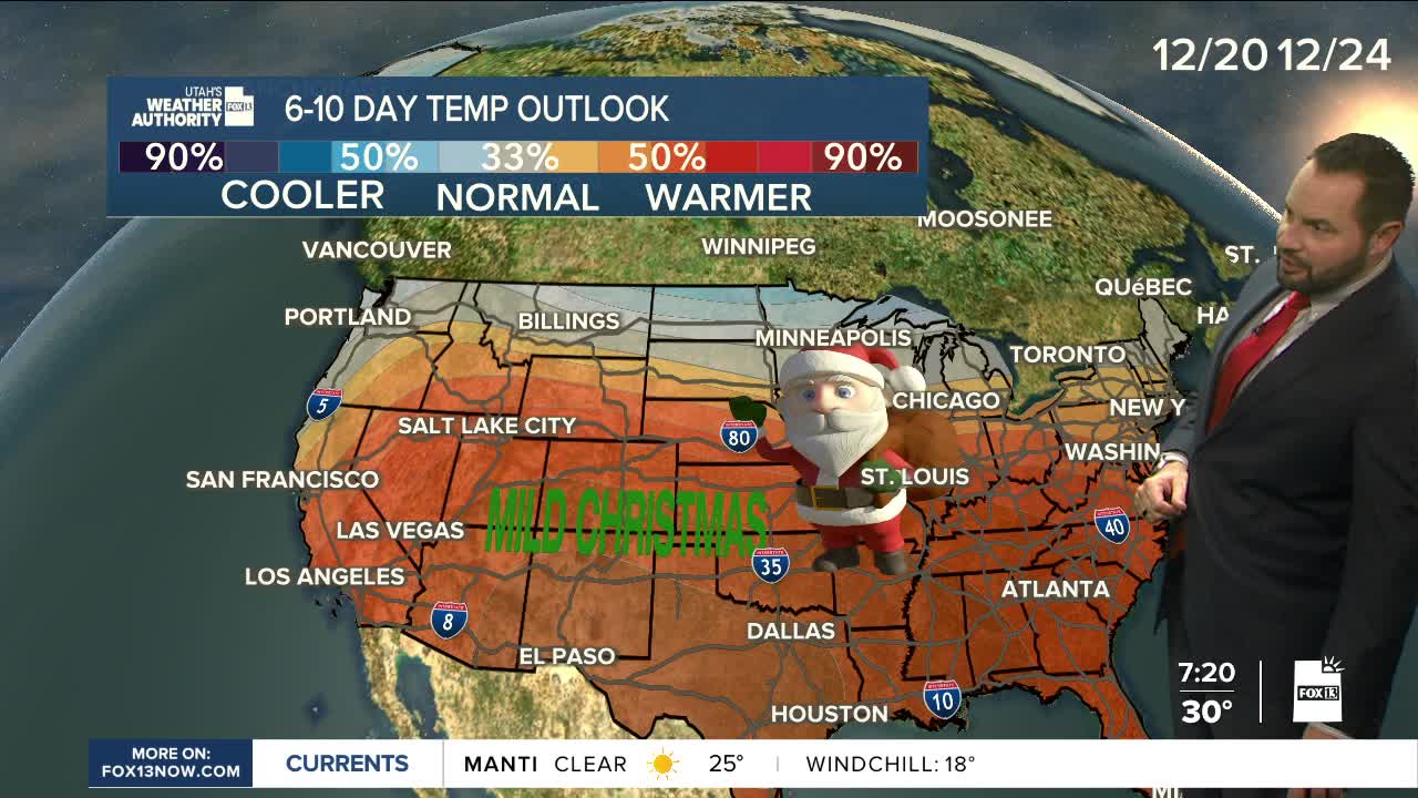
The good news: active weather looks poised to stick around into the weekend and possibly beyond, with additional valley rain and mountain snow leading up to Christmas. Stay tuned.


