

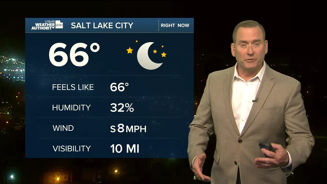


Another hazy day with smoke from both in and out of state wildfires impacting Utah. Air quality along the Wasatch Front will be unhealthy for sensitive groups again today. Smoke is expected to linger across the north at least through Thursday & even longer over Central & Southern UT.
After a break from the extreme heat over the last couple days, temperatures will gradually climb during the second half of the week. It's going to be hot & dry this weekend with dangerous heat possible across much of the area. We might even tie some records.
A little bit of moisture could bring some isolated dry thunderstorms over the higher terrain of SW Utah tomorrow. But a moderate surge of monsoonal moisture moving in early next week will bring cooler temps & a chance of rain. As a result, flash flooding will become a concern.
SALT LAKE CITY
Wednesday: Sunny with patchy smoke. Highs: Mid 90s.
Wednesday Night: Mostly clear. Patchy smoke. Lows: Upper 60s.
ST. GEORGE
Wednesday: Sunny & very hot. Highs: Near 107.
Wednesday Night: Mostly clear. Lows: Near 80.