Weather

Actions

Clear skies and gusty winds for Labor Day weekend

Saturday Morning Weekend Forecast
Posted

Clear skies this morning will continue into the afternoon with increasing southwest flow over the state. As a result, gusty southwest winds will continue across much of Utah through at least Sunday, with the strongest winds expected west of I-15. Gusts of 30–40 mph are likely with increased wildfire conditions.

Graphics from the FOX 13 Weather Center showing predicted wind speeds by Saturday night. From top to bottom, left to right: Elko 17 miles per hour, Wendover 28 miles per hour, Evanston 26 miles per hour, Rock Springs 24 miles per hour, Salt Lake 25 miles per hour, Vernal 17 miles per hour, Ely 31 miles per hour, Delta 34 miles per hour, Provo 22 miles per hour, Price 18 miles per hour, Milford 34 miles per hour, Bryce Canyon 22 miles per hour, Moab 20 miles per hour, Cedar City 31 miles per hour, St. George 24 miles per hour, Blanding 17 miles per hour.

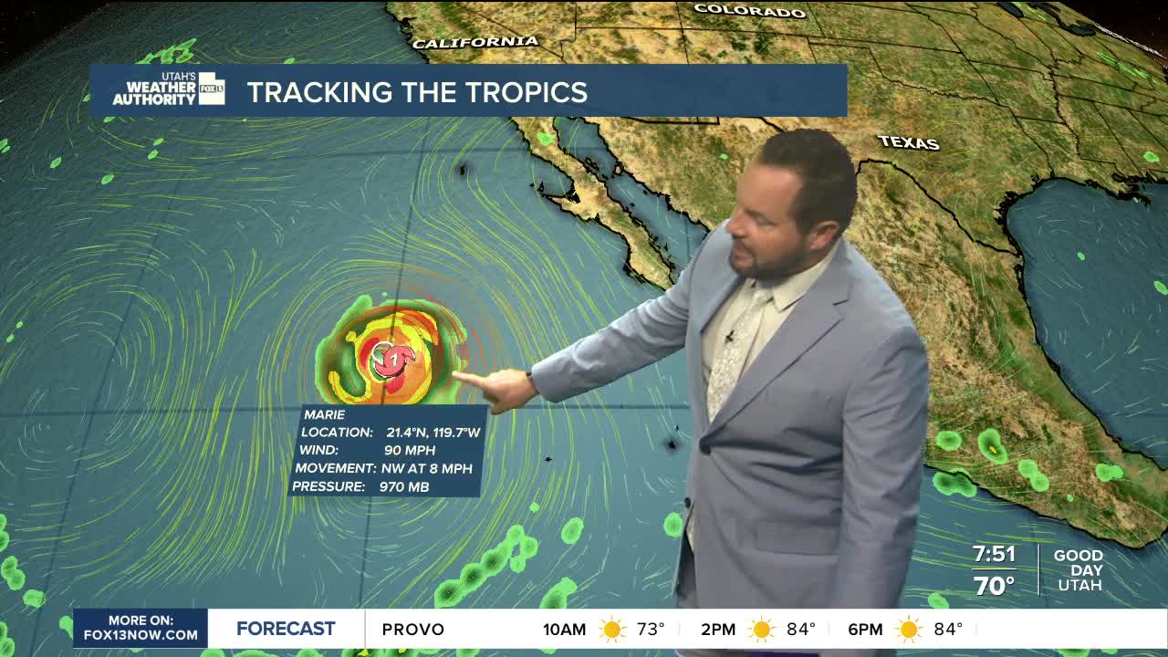
The bigger weather story arrives Sunday as tropical moisture from Hurricane Marie pushes north into Utah. Rain and thunderstorms will become more likely statewide with lingering showers into Labor Day.

Graphics from the FOX 13 Weather Center showing the flash flood potential for Utah's canyons. Most are showing possible flash flood risk, while Bryce Canyon, Grand Staircase, and Snow Canyon show probable flash flood risk.

Some areas could see locally heavy rain, with a slight risk for flash flooding. Strong thunderstorms are also possible, particularly as a cold front moves through Sunday night into early Monday.

Behind the front, cooler and drier weather settles in for the first half of next week. Temperatures will fall to roughly 10 degrees below normal on Labor Day...rebounding to near average highs by midweek.

REAL-TIME WEATHER: Get the latest weather forecasts by downloading the FREE Utah Weather Authority app