

Spring looks like winter!
A stronger storm will impact the area today with a cold front moving south Utah. Temps were very mild out ahead of the front in the morning, but as cold air spills in, northern valleys will fall into the low to mid 40s in the afternoon.
Snow levels started out around 8,000 feet but will drop to the valley floors by midday. Rain will change to snow in the valleys with accumulations possible, mainly on grassy surfaces. Most precipitation will wind down in the evening, but a wild card could be if lake effect develops SE of the Great Salt Lake tomorrow morning.
Strong winds are likely ahead of and behind the front, especially across parts of Eastern Utah & Eastern Nevada. Some winds might gust near 50 mph, making if feel even colder than it is.
Speaking of cold, that'll be the big story tomorrow morning! Temps will drop near or below freezing across most of the area overnight. If you have any plants/flowers you're worried about, make sure you cover them or bring them inside before you go to bed!
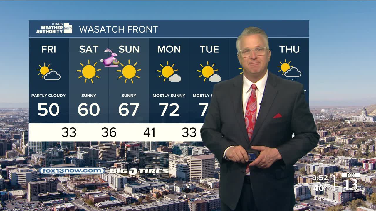
Luckily, it'll dry out heading into Easter Weekend with temps climbing about 10-15 degrees above average by early next week.
SALT LAKE CITY
Thursday: Rain showers likely in the morning with isolated t-storms possible. Rain will likely change to snow in the afternoon with minor accumulations possible, mainly on grassy surfaces. Showers likely ending by early evening. NW winds 15-25 mph. Afternoon temps will hover in the low to mid 40s.
Thursday Night: Mostly cloudy & much colder! Lows: Near 30.
ST. GEORGE
Thursday: Sunny. Highs: Mid 70s.
Thursday Night: Mostly clear & colder. Lows: Near 40.
