

We've got a warm start to a wet weekend!
A strong cold front will slide across the area this afternoon through Saturday afternoon. Out ahead of it, south winds will keep temps well above average. It's going to be breezy statewide, but the strongest winds could gust above 50 mph across Western Utah.
Showers & t-storms are possible this afternoon & evening (strong to severe storms are possible over the Northern Mountains and across Eastern Utah). Widespread precipitation is most likely across the north later tonight into Saturday with heavy rain possible at times.
Temperatures will go into a free-fall behind the cold front and rain will change to snow in the mountains. 1-4 inches are possible above 9,000 feet. Be prepared for winter-like weather in the mountains this weekend!
Wet weather will taper off on Sunday with a warming trend heading into next week.
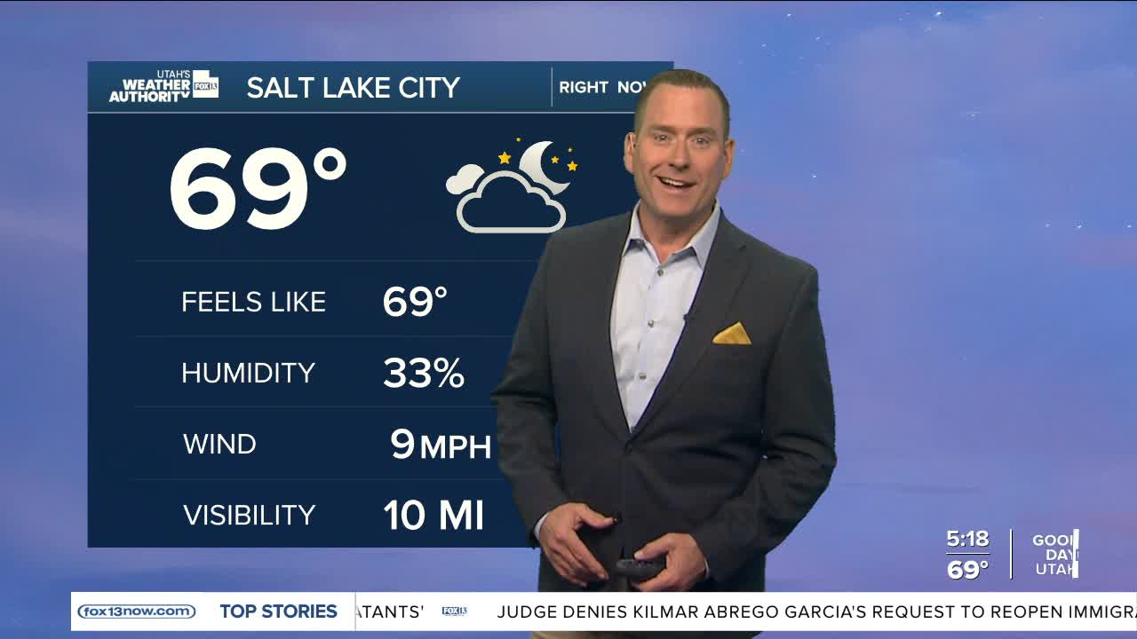
SALT LAKE CITY
Friday: Partly cloudy & breezy with a 30% chance of showers & t-storms in the afternoon & evening. Highs: Near 80.
Friday Night: Rain likely along with a slight chance of t-storms. Lows: Lower 50s.
Saturday: Much cooler with showers & t-storms likely. Besides heavy rain at times, small hail & strong gusty winds are possible. Highs: Upper 50s.
Sunday: Partly cloudy & cool. Highs: Near 60.
ST. GEORGE
Friday: Sunny & breezy. SW winds increasing to 15 to 25 mph in the afternoon. Highs: Upper 80s.
Friday Night: Mostly cloudy with a slight chance of showers. Lows: Mid 50s.
Saturday: Sunny & cooler. Highs: Mid 70s.
Sunday: Sunny. Highs: Near 80.
