

Grab a good jacket & an umbrella today!
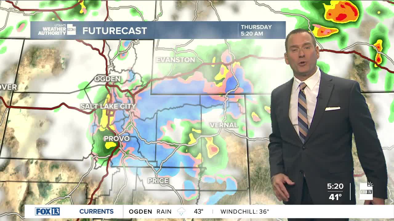
A cold fall storm will bring valley rain & mountain snow as it crosses Northern Utah today, while the south dries out. Snow fell down to about 6,000 ft. overnight with a few inches of accumulation possible above 7,000 ft. today and up to 6 inches or more above 8,000 ft. Precipitation is most likely in the morning, but as the storm pulls away should gradually decrease this afternoon with just a few spotty showers left this evening.
It's going to be clear & cold behind the storm tonight. Temps could drop below freezing in West Central Utah near Delta, Castle Country, and the Uinta Basin. Patchy fog will also be possible in Cache & along the Wasatch Back tomorrow morning.
Luckily, it'll dry out and warm up just in time for the weekend!
SALT LAKE CITY
Thursday: Mostly cloudy & colder with rain most likely in the morning, then gradually decreasing in the afternoon. Highs: Low 50s.
Thursday Night: Partly cloudy & colder. Lows: Near 40.
ST. GEORGE
Thursday: Sunny. Highs: Upper 60s.
Thursday Night: Mostly clear. Lows: Mid 40s.
