A weak storm system will track eastward today, which will likely lead to scattered showers and a few thunderstorms. By midday, even more moisture is expected so that could increase the intensity of rain for the higher elevations. While severe flooding is not expected, there could be localized problems like flash flooding and rock slides. Areas that have recently experienced fires are at highest risk for these issues.
Following the rain and more cloud clover, daytime highs will trend cooler throughout the weekend. Most areas along northern and central Utah will reach the low 90s, while southern counties can expect highs in the upper 90s.
Although the atmosphere will start to dry out tomorrow, there is still a chance for afternoon showers and storms Saturday afternoon.
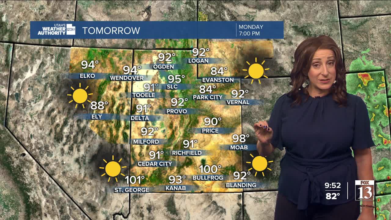
On Sunday, dry and hot weather is expected to return as a high-pressure system builds in from the Four Corners region. Temperatures may begin to rise again, with next week promising sunny conditions and highs in the upper 90s by Tuesday.
There is a glimmer of hope for later in the week. Early models suggest the potential for another wave of monsoonal moisture, but confidence remains low.