

A growing weather story is capturing attention across the West as forecasters continue monitoring the possibility of a developing Super El Niño.
While the climate pattern forms thousands of miles away in the tropical Pacific Ocean, its effects can significantly influence winter weather across Utah and the rest of the United States.
El Niño occurs when sea surface temperatures near the equator in the Pacific Ocean become warmer than average. These warmer waters are often caused by weaker trade winds and can alter the jet stream and storm tracks across North America. During strong El Niño events, storms tend to bring increased moisture to parts of the Desert Southwest, including southern Utah.
According to Utah Climate Center State Climatologist Dr. Jon Meyer, strong El Niño events provide one of the more predictable climate signals for the southern portion of the state.
“The far southern latitudes is one area that does have some coherence, gives us a measure of predictability, and under strong El Niños down south, we do tend to have wetter winters,” Meyer said.
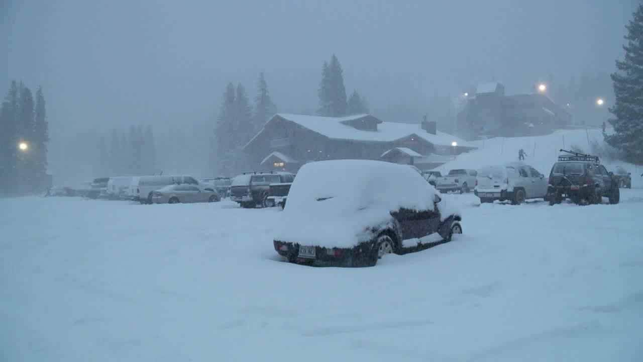
For areas that have experienced below-average snowfall during recent winters, that forecast could provide some welcome relief. Increased moisture in the atmosphere often leads to wetter storm systems, raising the possibility of stronger snow seasons and improved water supplies.
However, predicting exactly how El Niño will affect central and northern Utah remains more challenging. Historical events show that outcomes can vary from year to year, although several past Super El Niño winters produced favorable snowpack conditions across much of the state.
One of the most notable Super El Niño winters occurred during the 1982-83 season. That year produced exceptional snowfall across Utah, eventually contributing to historic flooding during the spring and summer months. Water famously flowed down State Street in downtown Salt Lake City as runoff overwhelmed drainage systems.
Another powerful event arrived during the winter of 1997-98. Snowpack across Utah reached approximately 132 percent of average by April 1, helping extend the ski season and providing abundant water for reservoirs throughout the state.
The most recent Super El Niño developed during the 2015-16 winter season. While not as extreme as previous events, Utah still finished with near-average snowpack levels. Several late-season storms helped boost snow totals and improve water conditions heading into spring.
Looking back at all three major Super El Niño events, Utah generally experienced positive snowpack outcomes. Those results offer some optimism as meteorologists watch current ocean temperatures continue to warm.
Still, experts caution that today’s climate is different from what it was decades ago. Warmer average winter temperatures could influence how much precipitation falls as snow versus rain.
“If it’s coming again just too warm, so we’re getting rain instead of snow, we’re right back to where we started with not a lot of water supplies available next spring and summer, even though we might have a good winter thanks to the Super El Niño,” Meyer explained.
While a Super El Niño could improve Utah’s chances for a wetter winter and healthier snowpack, much will depend on temperatures and storm patterns in the months ahead. For now, forecasters will continue watching the Pacific Ocean closely as Utah prepares for what could be one of the most influential climate events of the upcoming winter season.
This story was reported on-air by a meteorologist and has been converted to this platform with the assistance of AI. Our editorial team verifies all reporting on all platforms for fairness and accuracy.
