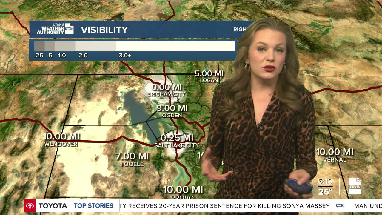


Yesterday, the valleys in northern Utah didn’t warm up enough to push out the moisture close to the ground. This means fog and low clouds formed again overnight from Salt Lake Valley and northward, including Cache Valley. That fog and low cloud cover will probably stick around most of the morning, slowly clearing by midday. Some areas like Cache Valley, could see fog well into the afternoon.
A strong area of high pressure is building over the Great Basin and will spread east through Saturday, peaking over our area on Sunday. This will warm the air above over the next few days. In places where the air mixes well, temperatures will rise quite a bit. But in valleys with fog and clouds, the stagnant air will stick around and keep things cold, even colder than usual for this time of year.
Weather models are very sure that this pattern will continue through next week. A weak storm system will pass north of Salt Lake late Sunday into Monday, but it won’t do much. There is a very small chance of light mountain snow up north. For valleys with strong inversions, it won’t be enough to mix out the trapped air, so fog, low clouds, and haze will likely last all week.
Outside of the valleys, it will stay warmer than normal, feeling more like March. Unfortunately, we probably won’t see any decent chance of rain or snow until at least the second week of February.
