

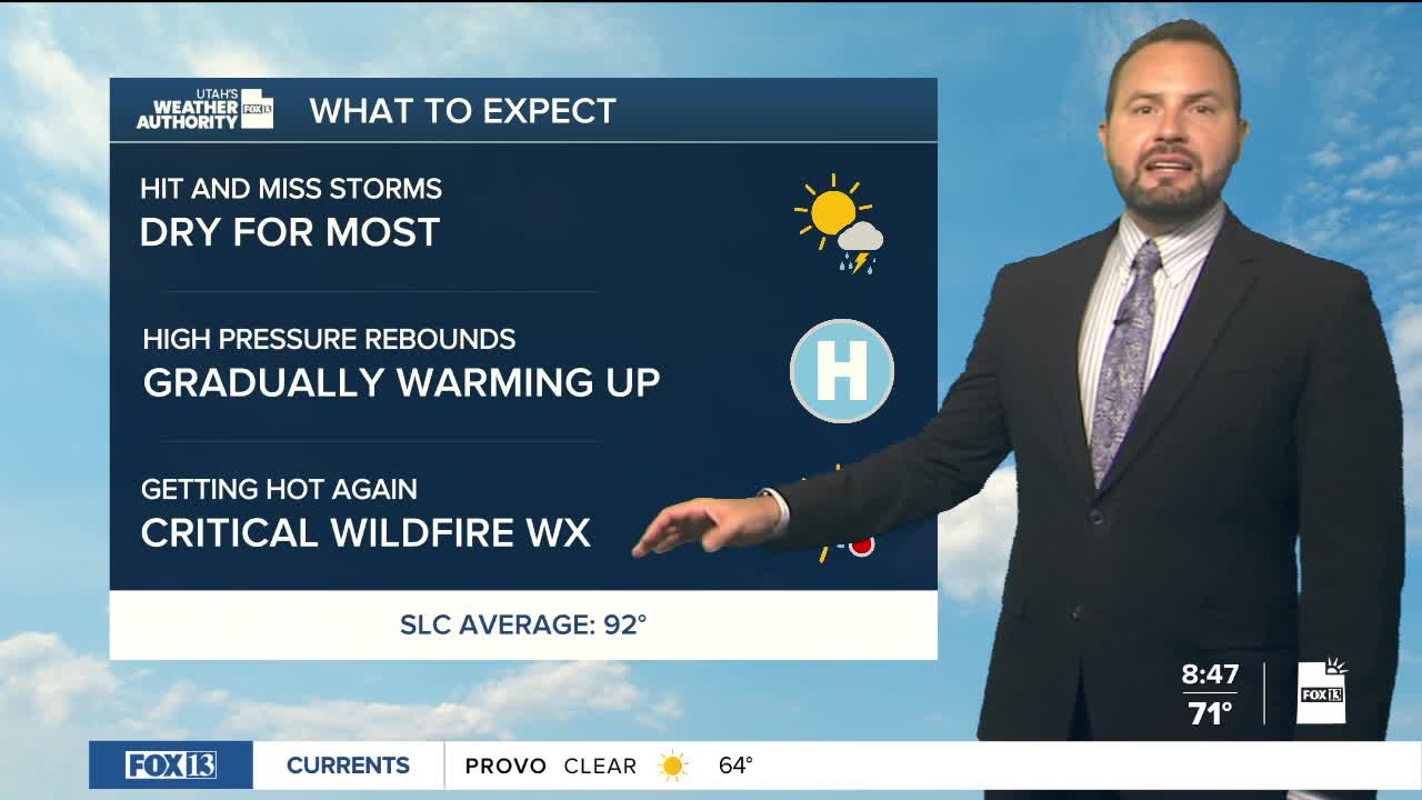

We're warming up again this week, with temperatures climbing into the 90s along the Wasatch Front today and continuing higher through at least Thursday. Temperatures in St. George will reach the upper 90s today, hitting low 100s early in the week.
A drier pattern will dominate the first half of the week, although a few afternoon thunderstorms will remain possible over the higher terrain.
Gusty winds and dry conditions Tuesday and Wednesday will bring elevated to locally critical fire weather concerns across central and southern Utah.
Otherwise, the next big weather change arrives Friday, when increasing monsoon moisture could bring the next measurable rainfall to much of the state. A more active weather pattern will likely continue into the weekend. Stay tuned.
