
We’re kicking off the day with another round of classic Utah fog across northern and central valleys. Cache, Tooele, Skull Valley, and spots near the lakes are socked in pretty good this morning. Fog advisories run through 10 a.m., but we’ll see if Mother Nature decides to hit the snooze button and keep it around a bit longer.
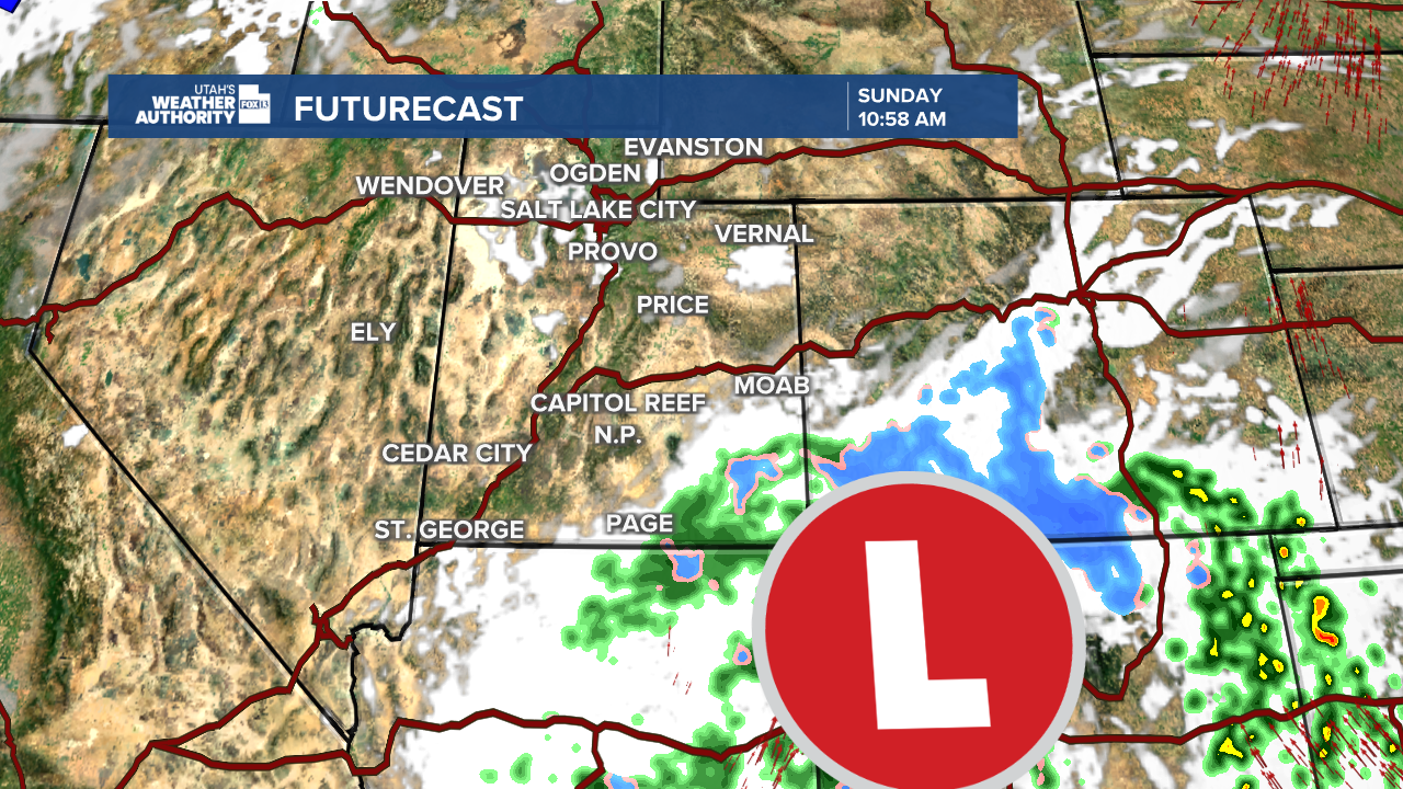
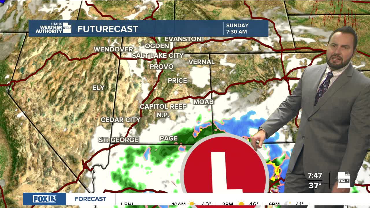
Down in southern Utah, an upper-level low is spinning its way toward the Four Corners, keeping light showers around through early this evening. Nothing wild—just a gentle tap on the umbrella before things dry out.
A dry cold front sweeps through Monday afternoon into early Tuesday. The good news? The front will help sweep out some of the bad air and weaken valley inversions.
Midweek brings a quick ridge...dry weather will be in place for travelers leading up to Thanksgiving. However, models are hinting at a potential winter storm next weekend. About half the models bring in a pretty healthy trough by Saturday or Sunday. Should that happen, cold air drops in fast, flipping everything to snow behind the front.

Early, early guesses? Around 2 inches at the SLC Airport, with spots like Alta possibly picking up 8–18 inches. It’s still a bit of a wild card, but definitely worth watching.
So enjoy the calmer stretch midweek, keep the weekend circled, and get ready for a chilly pattern to settle in as we close out the month. Winter may finally be stretching its legs!
