

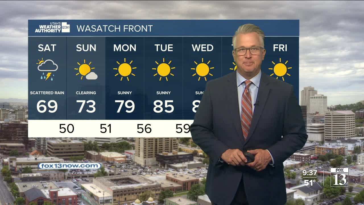


The last weekend of May will be off to a soggy start!
The storm to our west that kept it windy this week will move into SW Utah today and make it's way north into SW Wyoming by tomorrow. Out ahead of it, strong south winds will continue in Eastern Utah, keeping fire danger high this afternoon & evening.
Cooler air will move in with the storm along with a chance of showers & t-storms. The showers will begin across SW Utah by late morning, spread into Central Utah in the afternoon, and then move into Northern Utah by late afternoon & evening. Rain is most likely across the north later tonight through Saturday morning. The heaviest precipitation will likely be in NE Utah with a few inches of snow possible in the Uintas above 10,000 feet.
The storm will pull away tomorrow, but moisture wrapped around it will keep a chance of showers across the north through Saturday evening. By Sunday, any lingering showers will mainly be over the NE mountains.
Sunny & much warmer weather is expected by early next week!
SALT LAKE CITY
Friday: Becoming partly cloudy with a chance of showers & isolated t-storms in the afternoon. Highs: Near 80.
Friday Night: A few showers in the evening, then rain likely overnight. Lows: Lower 50s.
Saturday: Mostly cloudy & cooler with rain most likely in the morning, then a chance of showers & isolated t-storms in the afternoon. Highs: Near 70.
Sunday: Becoming sunny. Highs: Low 70s.
ST. GEORGE
Friday: Partly cloudy with a 20& chance of showers & t-storms in the afternoon. Highs: Mid 70s.
Friday Night: Mostly clear. Lows: Mid 50s.
Saturday: Sunny & warmer. Highs: Mid 80s.
Sunday: Sunny. Highs: Near 90.