

You're going to have to sweat it out again today!
High pressure will keep it hot & dry with near record heat through tomorrow. Heat risk is high, so if you're spending much time outside make sure you're taking frequent breaks and drinking plenty of water!(even if you're not thirsty)
We'll finally get some relief later this week! Monsoonal moisture moving in will bring a chance of showers & t-storms. At first, storms will bring gusty winds & dry lightning but then trend wetter by the end of the work week. Showers & t-storms will likely become widespread heading into the weekend.
Cooler temps, higher humidity, and a higher flash flood threat are expected.
SALT LAKE CITY
Tuesday: Sunny & hot. Highs: Upper 90s.
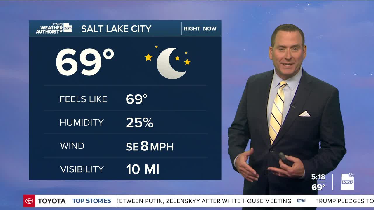
Tuesday Night: Mostly clear & mild. Lows: Lower 70s.
ST. GEORGE
Tuesday: Sunny & very hot. Highs: Near 105.
Tuesday Night: Mostly clear. Lows: Mid 70s.
