

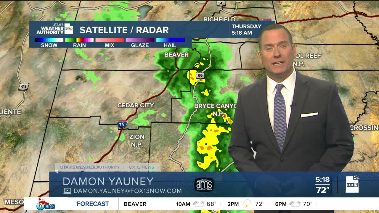


We'll get some much-needed rain & a break from the heat today!
Showers & t-storms will be widespread across the area through tomorrow, bringing a chance of strong winds & heavy rain at times. Since Mother Nature might take care of the watering, go ahead and turn off the sprinklers! Unfortunately, flash flooding will be a possibility statewide with the highest threat across Southwest Utah.
It's going to be a lot cooler with temperatures in a lot of valleys about 20 degrees lower than early this week! Enjoy it while you can. Stormy weather lingers tomorrow, but won't be as likely. Then it'll dry out this weekend & gradually warm up.
SALT LAKE CITY
Thursday: Mostly cloudy & cooler with showers & t-storms likely. Highs: Near 80.
Thursday Night: Showers & t-storms in the evening, then decreasing after midnight. Lows: Near 60.
ST. GEORGE
Thursday: Partly cloudy & much cooler with rain showers likely and a chance of t-storms. Highs: Near 90.
Thursday Night: Mostly cloudy with showers & t-storms likely. Lows: Lower 70s.