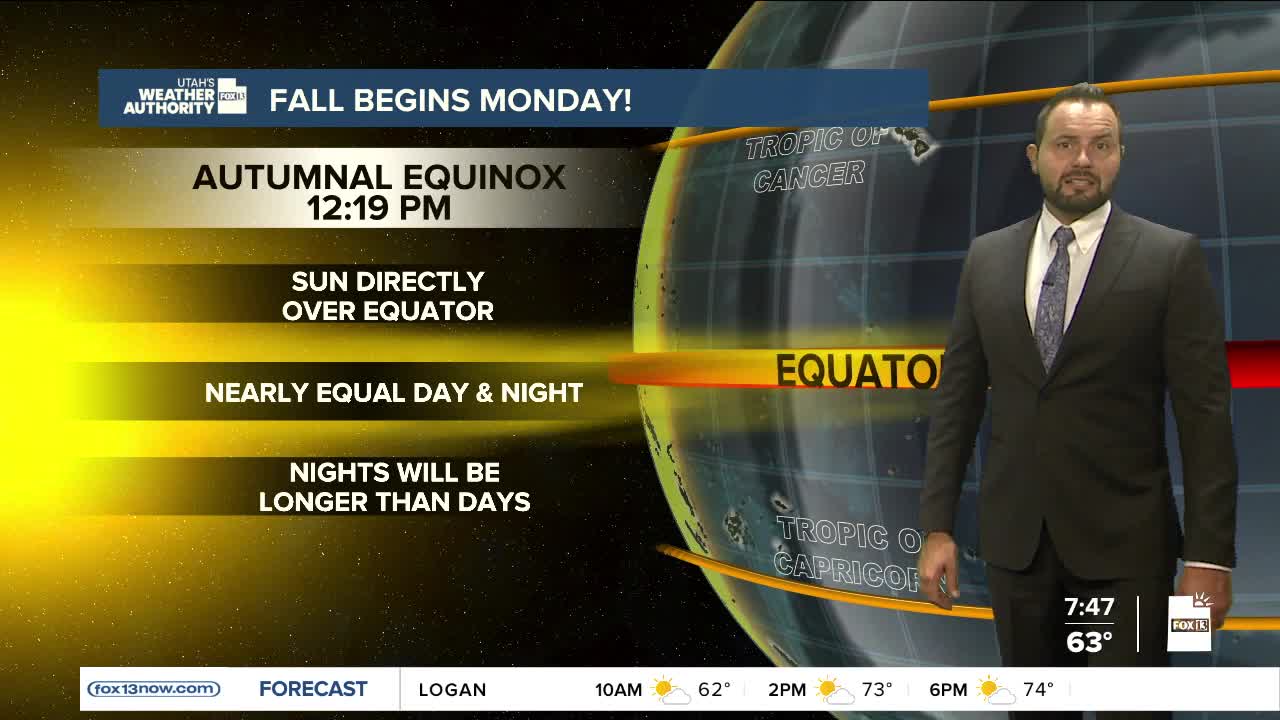

Hope you’re enjoying the last weekend of summer! The fall equinox arrives Monday, and it already feels like autumn with the ups and downs in temperatures and the vibrant colors showing up on our mountainsides.

More of those fall “feels” move in Monday with a passing cold front. Behind it, temperatures will dip below average, with highs only in the low to mid-70s Monday afternoon—down from near 80 today.

Southern Utah won’t see much change, as the storm is expected to mainly impact the northern half of the state. St. George will hold on to sunshine and highs in the low 90s.

Shower chances will increase later this afternoon as the system approaches from the northwest. Northern Utah could see a few isolated showers or storms by mid to late afternoon, with the bulk of the moisture moving in this evening and lasting through the night.

Most northern valleys are forecast to pick up a tenth to a quarter of an inch of rain by Monday morning. By Monday afternoon, skies will clear as high pressure builds back in through midweek.

