

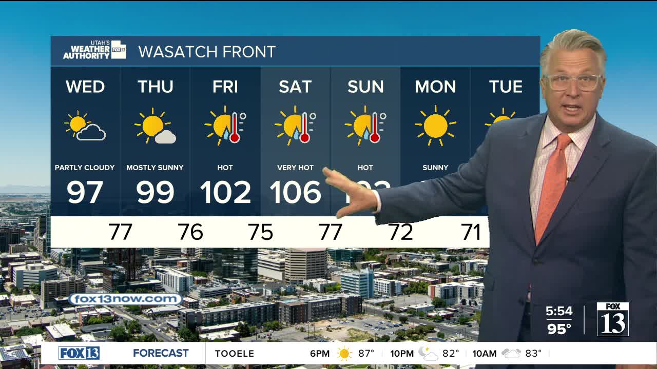


Still hot, but not as stormy today!
Dry air moving into SW Utah will limit thunderstorm development across the south, while isolated to scattered PM showers & thunderstorms are expected over the higher terrain of Northern Utah. While storm coverage will be lower in the south, any stronger cells that do form could still produce gusty winds and brief heavy rain.
Monsoonal moisture is expected to briefly surge north on Wednesday, increasing the likelihood of widespread showers & thunderstorms across Central & Southern Utah. As a result, the flash flood potential will increase tomorrow and then drop as we quickly dry out by the end of the week.
Meanwhile, the hot weather will only ease slightly through midweek before temperatures climb again heading into the weekend. It's going to be extremely hot by Saturday with near record temps possible.
SALT LAKE CITY
Tuesday: Partly cloudy with a 20% chance of showers & t-storms in the afternoon. Highs: Upper 90s.
Tuesday Night: Partly cloudy. Lows: Mid 70s.
ST. GEORGE
Tuesday: Mostly sunny & hot. Highs: Near 107.
Tuesday Night: Partly cloudy. Lows: Lower 80s.
