

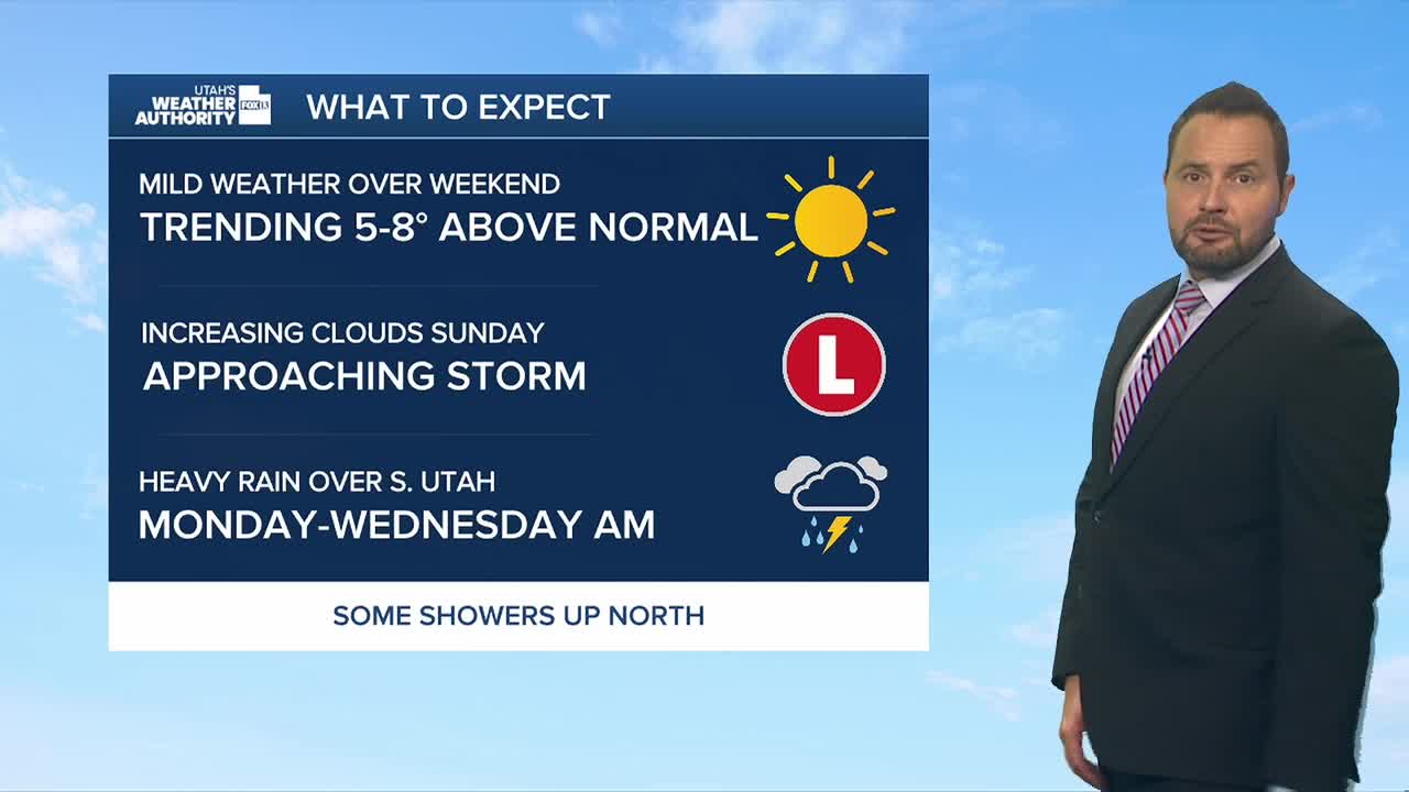

We're kicking off the weekend with warmer-than-normal temperatures and ample sunshine. Temperatures will climb roughly 5 degrees above normal statewide, with highs in the low 80s up north and low 90s in southern Utah.
By Sunday, we'll begin to transition to some changes for next week, with increasing moisture and isolated thunderstorms. Southern Utah could see a significant round of rain early next week as a strong storm system pulls deep tropical moisture northward on Monday and Tuesday.
Moisture associated with Hurricane Odalys and potentially Hurricane Polo could move into Utah Monday and Tuesday. The Weather Prediction Center has placed southern Utah under a Level 2 of 4 risk for excessive rainfall Monday.
The southern third of Utah has a chance of receiving more than an inch of rain over those two days, with locally higher amounts possible. That raises the risk for flash flooding, especially across national parks, recreation areas and steep terrain.
Northern Utah is expected to stay considerably drier, although some mountain areas could see rain.
Temperatures will also turn cooler Monday and Tuesday, with highs running 5 to 10 degrees below normal. Stay tuned!