

One more warm day before another stormy weekend!
Tropical moisture will surge north into Southern Utah today then spread across the rest of the area through Saturday. With heavy rain possible, especially across the south and east, flash flooding will be a big concern for the next few days. Isolated areas of flash flooding are also possible across the north on Friday & Saturday.
A cold front will slide across the area late Saturday, with strong to severe t-storms possible across the north. Besides a chance of heavy rain, mountain snow could fall as low as 7,000 ft. Behind the front, it's going to be cool and dry on Sunday.
More wet weather will likely move in by the middle of next week.
SALT LAKE CITY
Thursday: Mostly sunny & warmer. Highs: Low 80s.
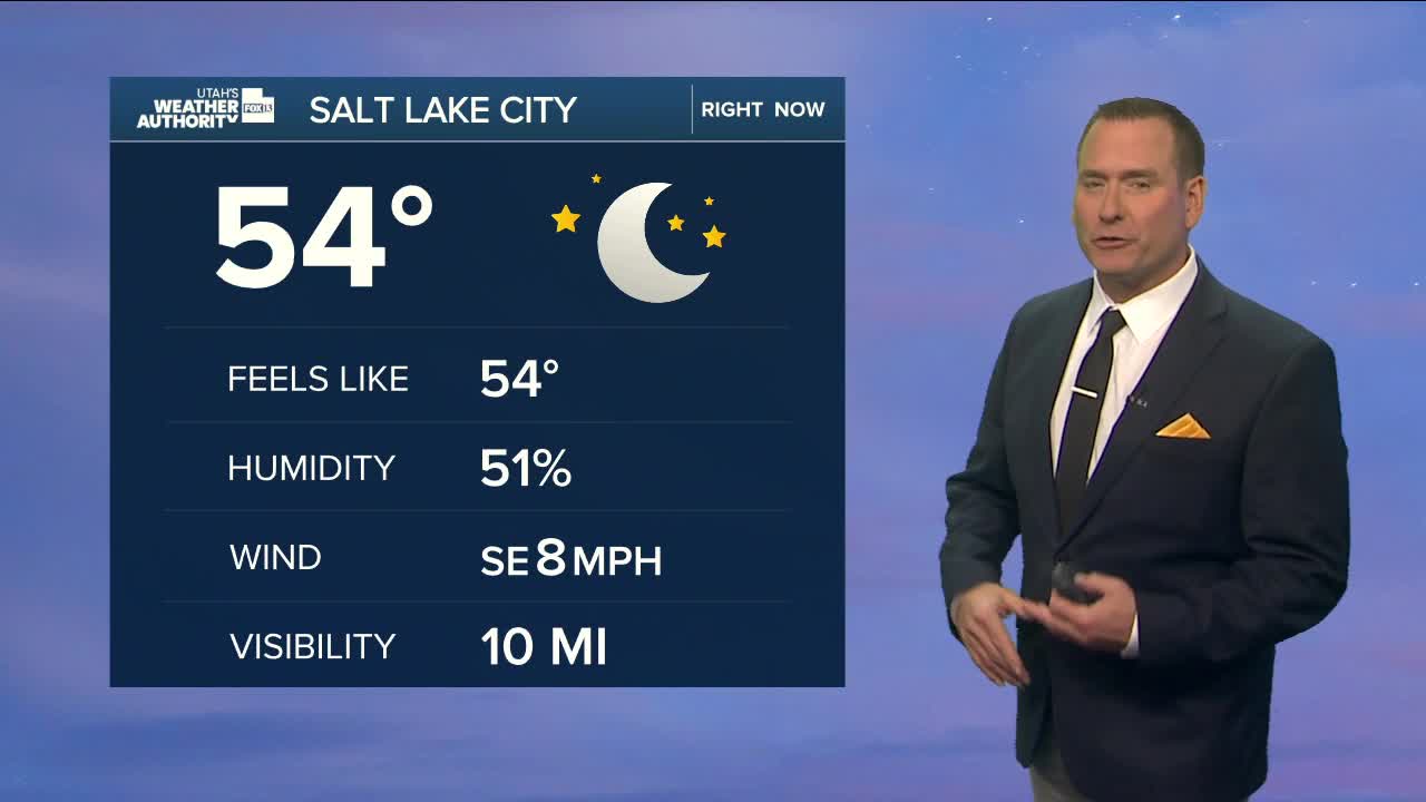
Thursday Night: Increasing clouds with a chance of showers & t-storms after midnight. Lows: Near 60.
ST. GEORGE
Thursday: Partly cloudy with a 50% chance of showers & t-storms. Some storms may produce heavy rainfall in the afternoon. Highs: Mid 80s.
Thursday Night: Showers & t-storms with heavy rain possible. Lows: Mid 60s.
