

Another stormy weekend!
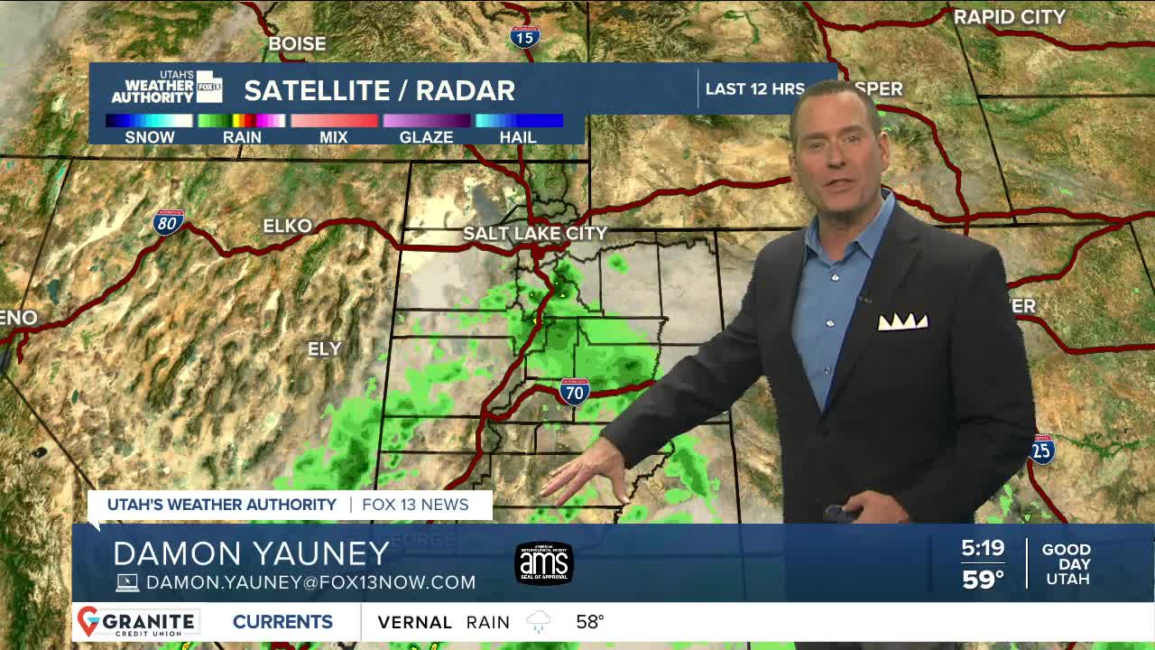
Moisture streaming north into Utah will bring widespread showers & t-storms through Saturday. Heavy rain is most likely in Southern, Central, & Eastern UT through tomorrow morning, then across the north Saturday afternoon & evening.
South winds will be gusty (30-40 mph) across Western & Northern Utah ahead of a cold front that's expected to move in late Saturday. Strong to severe t-storms could develop along the front, bringing the best chance of heavy rain to the north.
Cold air moving in behind the front could knock snow levels down to about 6,000 ft. Since that's on the tail end of the storm, only about 1-4 inches are expected in the Cottonwoods, even though more is possible.
It's going to dry out Sunday, but temps by then will only climb into the mid to upper 50s along the Wasatch Front.
SALT LAKE CITY
Friday: Mostly cloudy with morning showers likely, then a chance of showers & t-storms in the afternoon. Highs: Mid 70s.
Friday Night: Showers along with a slight chance of t-storms. Lows: Near 60.
Saturday: Showers & t-storms likely. South winds 15-25 mph. Highs: Low 70s.
Sunday: Colder. Slight chance of showers in the morning, then becoming mostly sunny by afternoon. Highs: Mid 50s.
Columbus Day: Partly cloudy & warmer. Highs: Upper 60s.
ST. GEORGE
Friday: Showers & t-storms likely. Some storms may bring heavy rain. Highs: Low 80s.
Friday Night: Showers & t-storms continue with more heavy rain possible. Lows: Mid 60s.
Saturday: 60% chance of showers & t-storms with heavy rain still possible at times. Highs: Near 80.
Sunday: Sunny & cooler. Highs: Low 70s.
Columbus Day: Mostly sunny. Highs: Mid 70s.
