

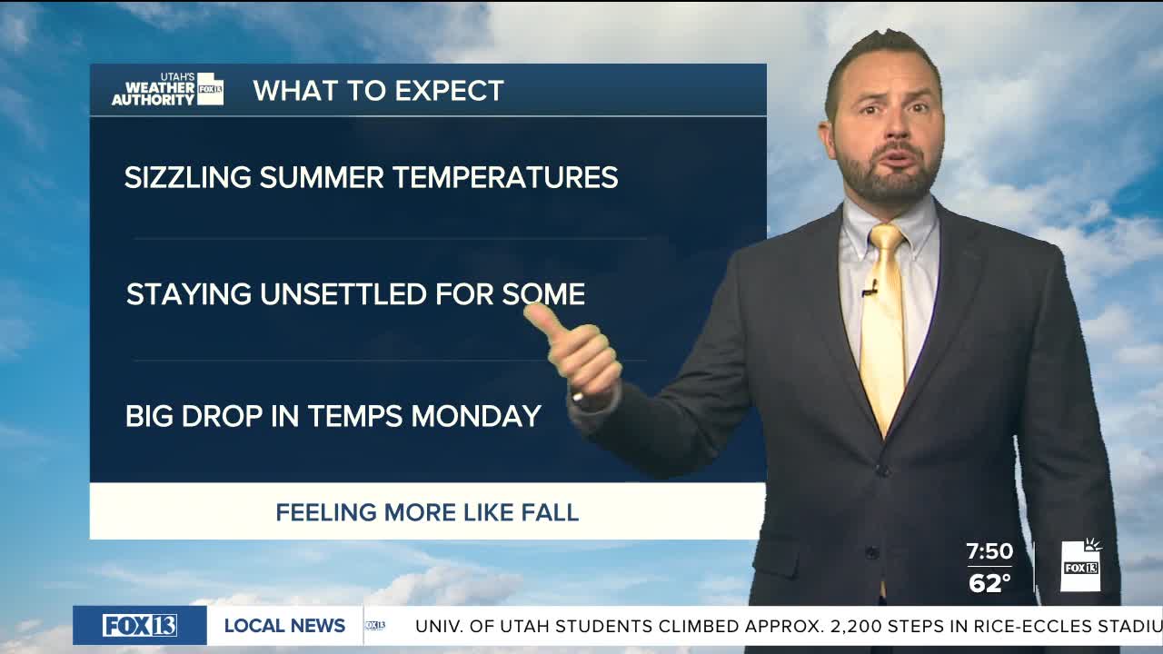

It's a gorgeous start to the day for much of the state with temperatures climbing above average this afternoon. Daytime highs will reach the low 90s for northern valley with a chance at 100 degrees for St. George.
Moisture is increasing across central and southern Utah, but shower and thunderstorm coverage remains limited. Storms will stay isolated Saturday, with any storms that develop will be capable of producing heavy rain. Flash flooding remains possible for most recreational areas today, with better chances on Sunday.

The bigger weather story today will be gusty southwest winds. Gusts of 30 to 35 mph are possible across west-central and southwest Utah, ahead of a cold front moving in on Monday. The front is on track to move through Sunday night into Monday, bringing cooler temperatures and stronger west to northwest winds. Scattered storms will move through the central and eastern Utah with the passing front.

Northern Utah will warm back up through the middle of next week. Southern Utah will hang on to some moisture, with daily chances for afternoon showers and thunderstorms continuing into next week.
