

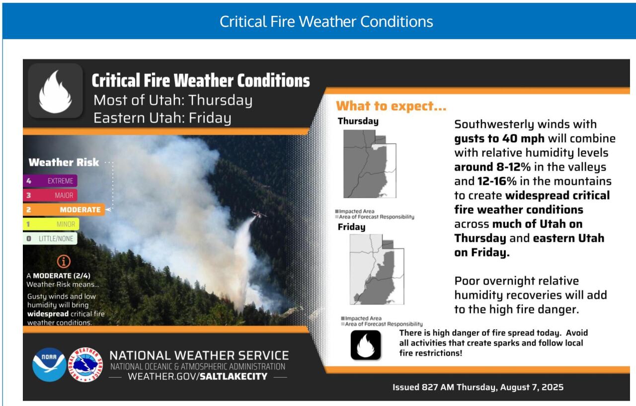
Hot, dry & windy with high fire danger again today! A dry cold front will knock temps down below average across northern Utah by tomorrow...so finally some relief from the heat!
Lighter winds are expected behind the front across northern & western Utah on Friday, while gusty winds will keep fire danger high across the east.
Utah Fire Info has also put out a critical fire weather alert, warning of winds of up to 40 miles per hour and low humidity.
It's going to be warm, but below average across the north this weekend. Hot temps are expected again next week.
SALT LAKE CITY
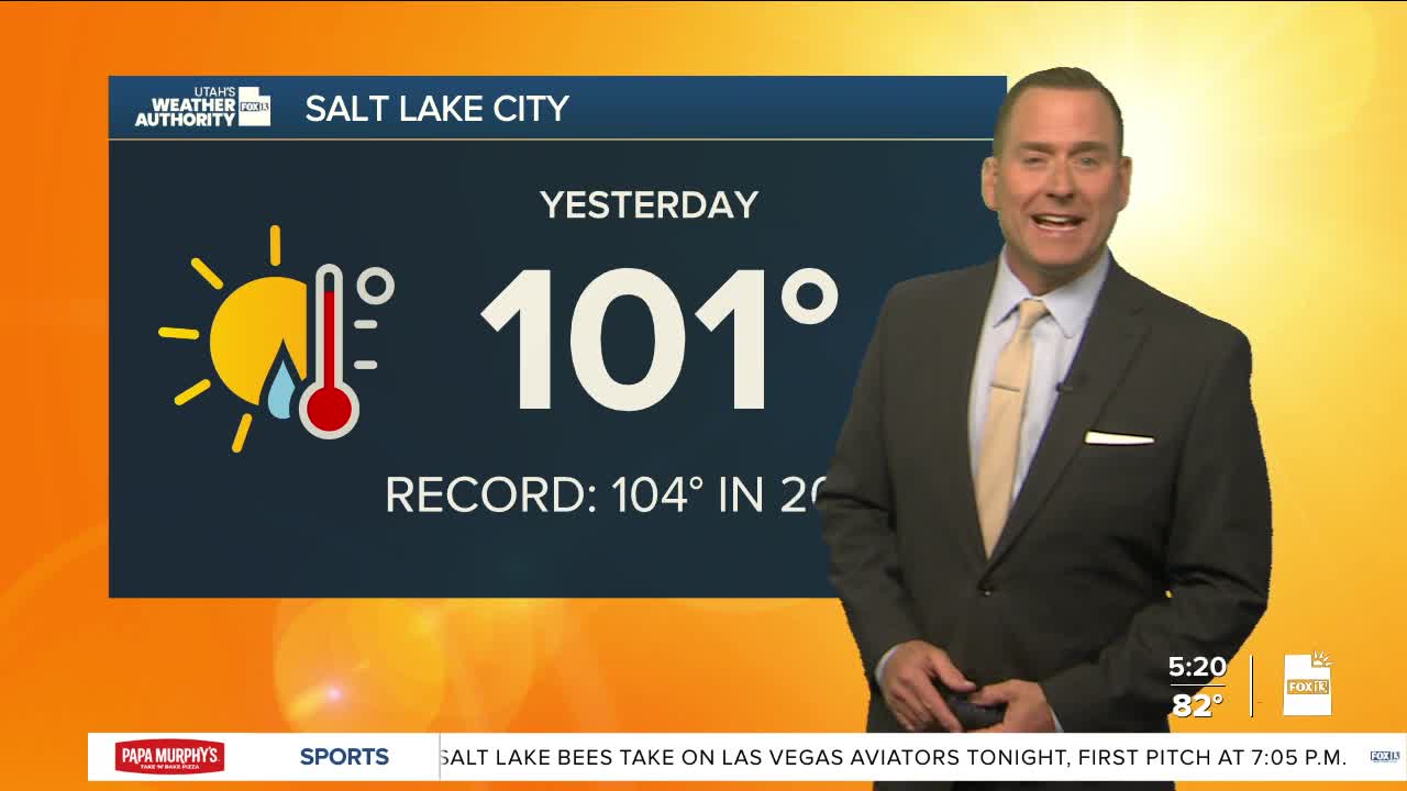
Thursday: Sunny & breezy. West winds 10-20 mph. Highs: Upper 90s.
Thursday Night: Mostly cloudy in the evening, then clearing overnight. Lows: Mid 60s.
ST. GEORGE
Thursday: Sunny & breezy. West winds increasing to SW 15 to 25 mph in the afternoon. Highs: Near 107.
Thursday Night: Mostly clear. Lows: Mid 70s.
