

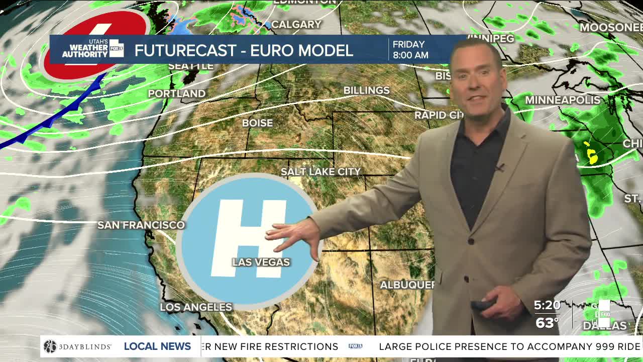


The first weekend of June is starting out sunny & hot! Temps climb near 90 along the Wasatch Front again today and into the mid 90s by Saturday.
Winds will increase tomorrow ahead of a storm to our northwest. SW winds could gust between 30-40 mph across Central & Southern Utah. The combination of hot, dry, windy conditions will lead to high fire danger on Saturday.
The approaching storm will brush by to our north, but a cold front will move through on Sunday morning and knock temps down about 15 degrees! That's still close to average for this time of year, so it'll still be pretty comfortable.
Winds pick up again on Monday ahead of another approaching storm. That'll keep fire danger high through Tuesday evening. It's expected to be cooler with a chance of showers by the middle of next week.
SALT LAKE CITY
Friday: Sunny & warm. Highs: Near 90.
Friday Night: Partly cloudy. Lows: Mid 60s.
Saturday: Sunny, hot, & breezy. South winds 10-20 mph. Highs: Mid 90s.
Sunday: Partly cloudy & cooler with a slight chance of showers over the higher terrain. Highs: Near 80.
ST. GEORGE
Friday: Sunny & hot. Highs: Near 102.
Friday Night: Mostly clear & mild. Lows: Near 70.
Saturday: Partly cloudy & breezy. SW winds 15-25 mph. Highs: Near 100.
Sunday: Sunny. SW winds 10-20 mph. Highs: Mid 90s.