

Its starting to feel like fall again!
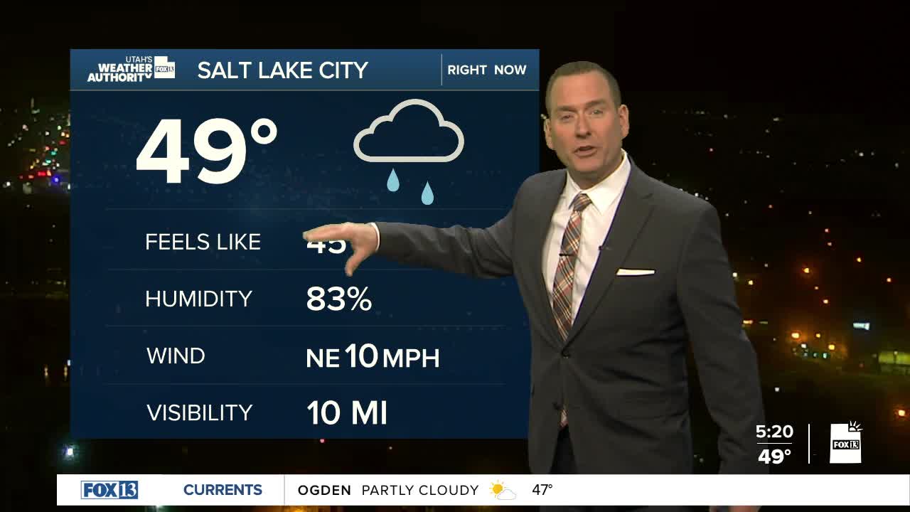
A storm brushed by to our north overnight, but is dragging a weak cold front across Utah early today. Valley rain & mountain snow developed in the north overnight with 1-2 inches of snow possible above 7,000 ft. Rain & snow showers will taper off through the morning.
Cooler air moving in behind the front will keep temps in the north about 10-15 degrees lower than yesterday, but only a few degrees cooler in the south. Even though you'll need a better jacket, that still puts us pretty close to average for early November.
A weak system brushing by tonight & Friday morning could bring a few more spotty showers to the north. Otherwise, high pressure will build back over the weekend and bring a warming trend heading into next week.
SALT LAKE CITY
Thursday: Showers ending in the morning, then partly cloudy & cooler this afternoon. Highs: Upper 50s.
Thursday Night: Increasing cloudy. Lows: Lower 40s.
ST. GEORGE
Thursday: Sunny. Highs: Mid 70s.
Thursday Night: Mostly clear & cooler. Lows: Mid 40s.
